 German
 Italy
Italy
 Sweden
 Austria
 Albania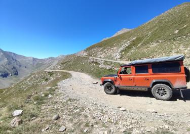
 France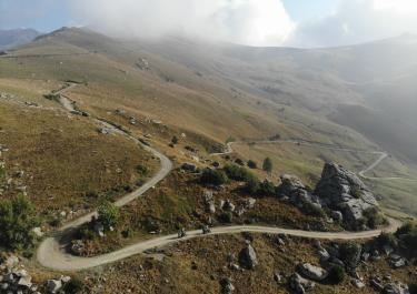
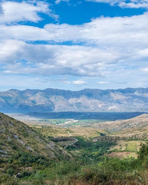
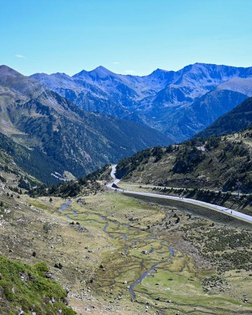
 Andorra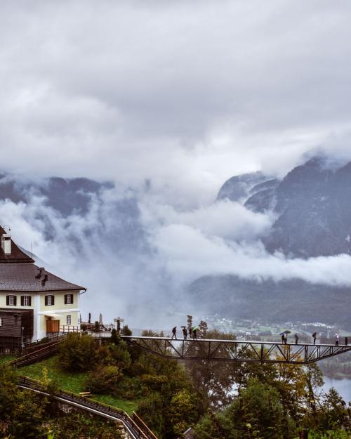
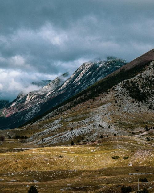
 Bosnia-Herzegovina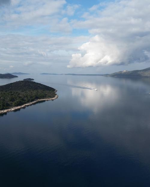
 Croatia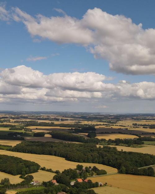
 Denmark
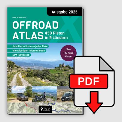
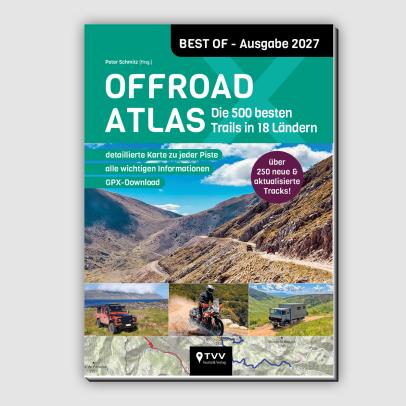
Our successful off-road atlas is now in its second edition and has already established itself as a classic! Now 450 off-road tracks are presented with important information, bri...


A lovely route through woods and past lakes. It’s well worth stopping for a break and a bite to eat at Krüseliner Mühle (roughly halfway along the route).
Today we drove the route from B to A. A lovely, easy track with plenty of woodland sections. Twice there was a tree trunk lying across the path, which we had to drive round. This is possible with a vehicle that has higher ground clearance.
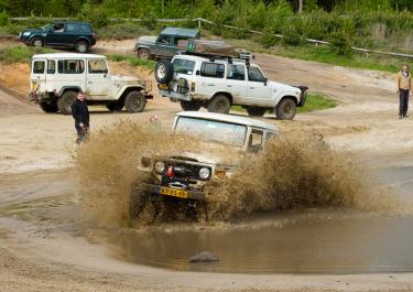
We drove into the area via a small pass from the west, not from the north. There were no ‘no entry’ signs or anything of the sort. This route is well worth taking. We also saw plenty of vehicles in the area, including some without 4x4 capability, so it’s safe to assume that the northern access route is currently open as well. For an extra adventure, you can also enter or leave the area from the south, though this involves crossing a water crossing (50–60 cm deep). Highly recommended.
 Norway

 Spain
Spain
 Island