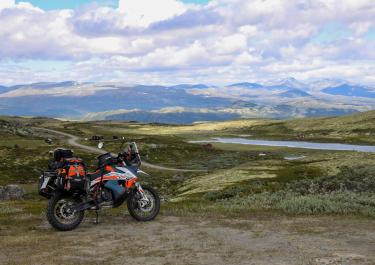
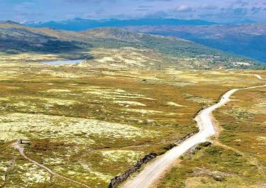
On the Blåhøe
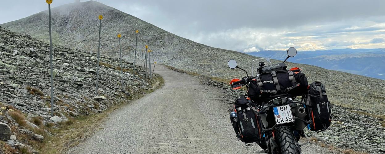
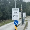
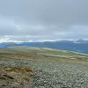
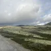
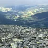


Blåhøe is a mountain near the municipalities of Vågå and Dovre in inland Norway, although the inhabitants of Dovre refer to it as Jetta. A road leads all the way to the top at an altitude of 1,617 metres, making it Norway's third highest road. From the summit of Blåhøe, there is a panoramic view of the landscapes of Jotunheimen, Reinheimen, Rondane and Dovrefjell, as well as the villages of Dovre, Lesja, Sel and Vågå. We off-roaders are not the only ones who tackle Blåhøe – road cyclists, mountain bikers, hang gliders, paragliders and hikers also enjoy it. There are even proper competitions for cyclists and runners to the summit. One of these is the Blåhø-Opp race, in which top athletes also take part.
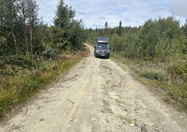
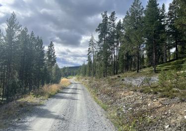
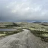
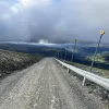
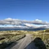
The road to the summit was planned in the 1960s in connection with the construction of a transmission station and completed in 1963. The road is relatively narrow, has medium-coarse gravel and is in good condition. Only one or two steep sections require a little attention.