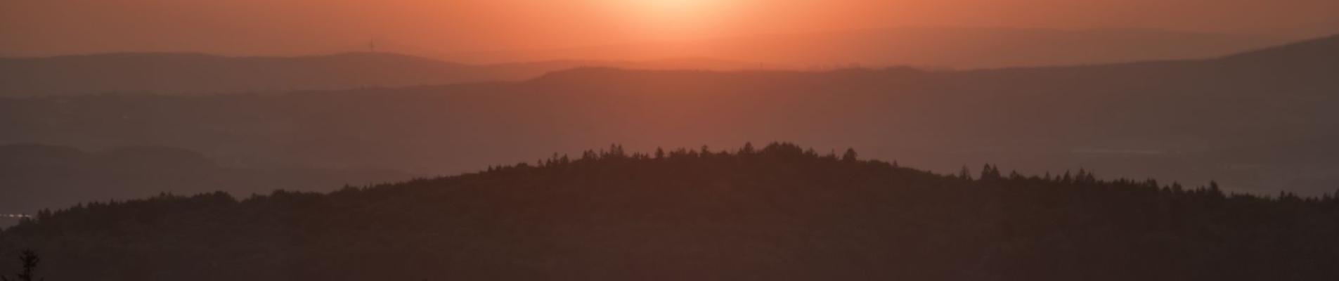
Fichtelgebirge/Upper Palatinate
8
curated tracks
130 km
offroad total
534 m
highest point
Track database
Tracks in Fichtelgebirge/Upper Palatinate
An editorial selection — every track in the region with a map, GPX and reports in the Atlas.
8 tracks
All-Tracks
 Germany
Fichtelgebirge/Upper Palatinate
2.0
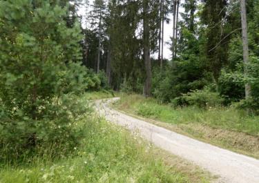
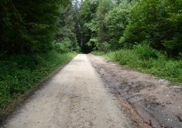
From the airport to Michelfeld
6 km·464 m·Light
Toll-free
All-Tracks
GermanyFichtelgebirge/Upper Palatinate
2.0
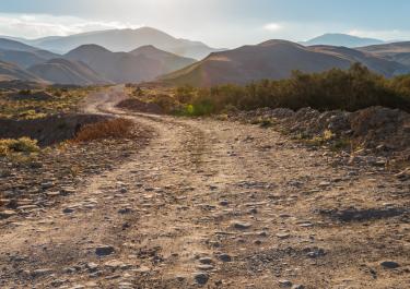
Forest of Veidenstein
3 km·490 m·Light
Toll-free
All-Tracks
GermanyFichtelgebirge/Upper Palatinate
2.0
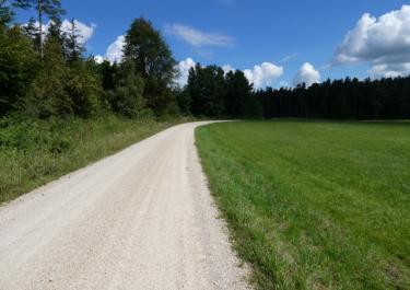
At the Maximilian grotto
5 km·519 m·Light
Toll-free
Current reports
All-Tracks
GermanyFichtelgebirge/Upper Palatinate
2.0
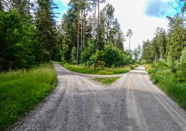
Gravel tracks near the Bismarck grotto
12 km·509 m·Light
Toll-free
All-Tracks
GermanyFichtelgebirge/Upper Palatinate
2.0
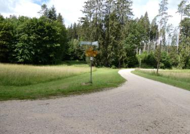
Nature park Hirschwald II
19 km·514 m·Light
Toll-free
All-Tracks
GermanyFichtelgebirge/Upper Palatinate
2.0
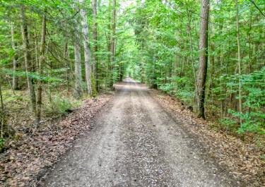
Nature park Hirschwald III
10 km·509 m·Light
Toll-free
All-Tracks
GermanyFichtelgebirge/Upper Palatinate
2.0
Nature park Hirschwald IIII
5 km·534 m·Light
Toll-free
All-Tracks
GermanyFichtelgebirge/Upper Palatinate
2.0
Nature park Hirschwald I
5 km·510 m·Light
Toll-free
Before you set off
Deutschland
Updated 29.10.2026 · 3 min read
Legal Offroad fahren in Deutschland: Die Suche nach einer geeigneten und erlaubten Strecke ist eine Herausforderung. Hier gibt es Infos dazu.
01Was sind Wirtschaftswege – und darf man sie legal befahren?
02Was gilt auf öffentlichen Wirtschaftswegen?
03Regelungen für Waldwege
Keep going