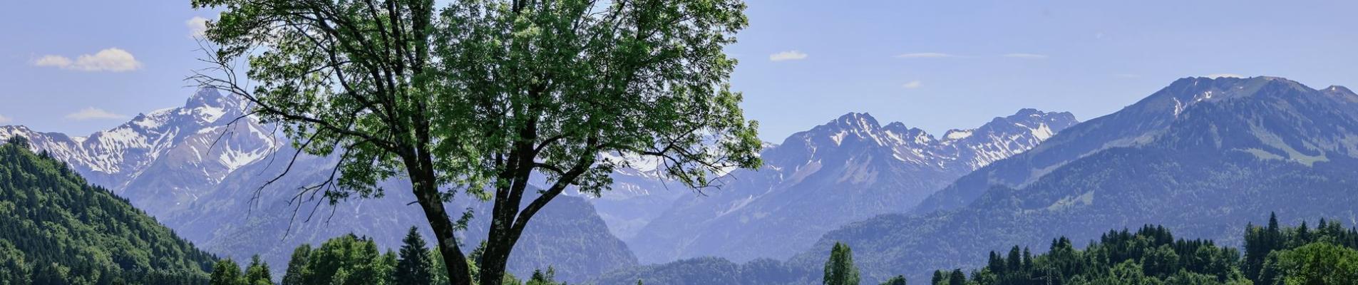
Bavaria
13
curated tracks
220 km
offroad total
891 m
highest point
Track database
Tracks in Bavaria
An editorial selection — every track in the region with a map, GPX and reports in the Atlas.
13 tracks
All-Tracks
 Germany
Bavaria
4.5
In the valley of the river Brend
7 km·Light
Toll-free
All-Tracks
GermanyBavaria
4.7
Rhön and Spessart
9 km·Light
Toll-free
Current reports
All-Tracks
GermanyBavaria
4.5
Around the Musselberg mountain
9 km·Light
Toll-free
All-Tracks
GermanyBavaria
5.0
In the south of Spessart
7 km·Light
Toll-free
All-Tracks
GermanyBavaria
3.7
Pistes between Rannungen and Weichtungen
11 km·Light
Toll-free
All-Tracks
GermanyBavaria
Through the state forest of Lindach
6 km·Light
Toll-free
All-Tracks
GermanyBavaria
Between Bad Berneck and Bischofsgrün
4 km·Light
Toll-free
All-Tracks
GermanyBavaria
2.0
Pistes in northern Fichtelgebirge
10 km·Light
Toll-free
All-Tracks
GermanyBavaria
4.5
Through the Kaolin open-pit mining
13 km·Light
Toll-free
Current reports
All-Tracks
GermanyBavaria
3.0
Through fields and woods in Upper Palatinate
13 km·Light
Toll-free
All-Tracks
GermanyBavaria
3.0
Tracks in Hirsch forest
6 km·Light
Toll-free
All-Tracks
GermanyBavaria
Tracks between Amberg and Schwandorf
9 km·Light
Toll-free
All-Tracks
GermanyBavaria
3.5
Mountain Inn Taubenberg
6 km·891 m·Light
Toll-free
Before you set off
Deutschland
Updated 29.10.2026 · 3 min read
Legal Offroad fahren in Deutschland: Die Suche nach einer geeigneten und erlaubten Strecke ist eine Herausforderung. Hier gibt es Infos dazu.
01Was sind Wirtschaftswege – und darf man sie legal befahren?
02Was gilt auf öffentlichen Wirtschaftswegen?
03Regelungen für Waldwege
Keep going