 Spain
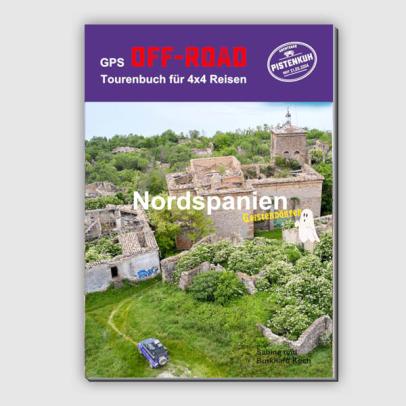
Book including code for data download GPS Off-Road Touring Guide to the Ghost Villages of Northern Spain For this GPS Off-Road Touring Guide, we spent two months exploring adven...
The small town of Ribes de Freser has around 1,800 inhabitants and is located at an altitude of 912 metres at the confluence of the Freser, Rigard and Segadell rivers. Several two-thousand metre peaks surround the valley of Ribes, and its local mountain is the 2,040 metre high Taga. If you want to stretch your legs a bit before setting off: the Calle de Cerdanya leads between picturesque stone houses up to the chapel of Sant Christòfol. On the way back you might want to take a jar of local honey with you, which has a very good reputation.
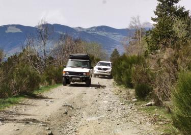
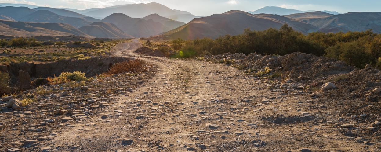
For us off-road enthusiasts, there is only one realistic option for getting east into the valley of the Rio Ter - on a basically moderate gravel track, but one that has a few hearty interludes in store. To do this, you drive off the N-260 at the southern end of Ribes and after about a kilometre turn left onto a path that is initially concrete. After a short distance, the surface changes to gravel, while the path marches uphill through dense forest. At around 1,400 meters, we continue straight on at a crossroads, pass the campsite in the town of Pardines, roll a short distance on asphalt, and then follow the Collada Verda sign to the east on gravel.
The flat ford of the el Segadell does not cause any problems, but the following track with rough stones and deep washouts does. You should proceed carefully with a large four-wheel drive or a heavy enduro. Shortly after the Collada Verde, the route crosses its highest point at 1,617 meters, before curving down to the Riu Ter, offering some beautiful views over Abello.
Conditions, closures and tips — from members who drove here recently.