A detour into the Kamniška Bistrica valley - CLOSED!!!
Community Report Summer 2024: Track unfortunately no longer rideable. Several rockfalls have completely washed away part of the road - I assume that it will never be rideable again as the track is too remote and will not be repaired. We even had to turn around with the sports enduro as there was no way through. The track is also officially closed with signs at the entrance.
It is a river called Kamniška Bistrica, is 33 kilometers long and flows into the Sava near Lubljana. It rises in a primeval valley near the Austrian border in the Kamnik-Savinja Alps. On its way down to the Sava, the Kamniška Bistrica winds its way through a picturesque gorge, to which it owes its reputation as a hiking area. Road no. 923 follows the water on narrow asphalt and boldly crosses several bridges.
In addition to this road, there is also a non-asphalted variant to reach the source of the Kamniška Bistrica. To the west of the valley, a network of pistes crosses the mountains to connect the isolated farms and huts with the valley. If you navigate skillfully, you can enjoy a varied off-road tour.
How to get there: Coming from Kamnik on road no. 225, turn off onto road no. 923 through the Bistrica Valley in Kregarjevo. After about six kilometers, the valley station of the cable car to Velika planina comes into view. There is a turn-off to the left to the gravel road.
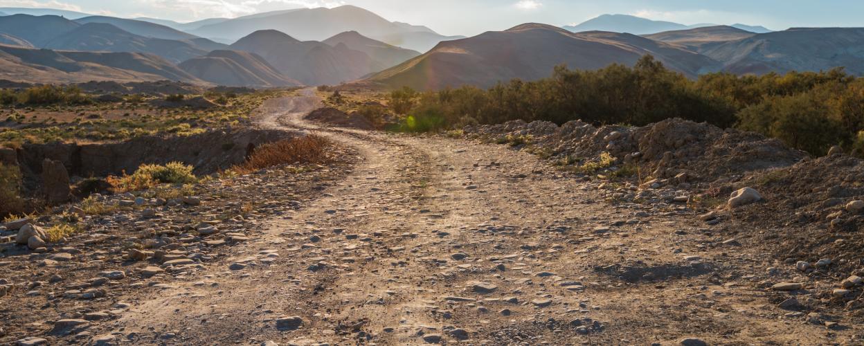
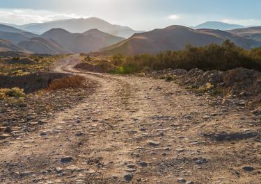
The first of several bridges on the route follows immediately. The rock faces narrow, become wider again, the next bridge. For the time being, the dense forest prevents any views. The not too wide route winds its way along the slope, full of bends, with its surface becoming rougher from time to time. One bridge follows the next and the rock faces rise steeply. From time to time, the track crosses a clearing and offers views of the surrounding peaks. Finally, it descends in beautiful hairpin bends into the valley, where it meets the asphalt road no. 923.
On the left, after one kilometer at an altitude of 600 metres, you will reach the source of the Kamniška Bistrica and the Dom v Kamniški Bistrici Alpine Club House. From there, you can go on beautiful hikes on foot.


Unfortunately, the trail is no longer passable. Several rockfalls have partially or completely washed away the road—I assume it will never be passable again since the route is too remote and won’t be repaired. We had to turn back even on our sport enduro bikes because there’s no way through. Officially, the route is also closed with signs at the entrance.