German
A nice, easy route with a good hiking opportunity at the end—an easy walk to the Porze Hut (which has a restaurant) or further on to the Italian border.
J
Jurgen van de Vijver
Defender · 13.09.2026


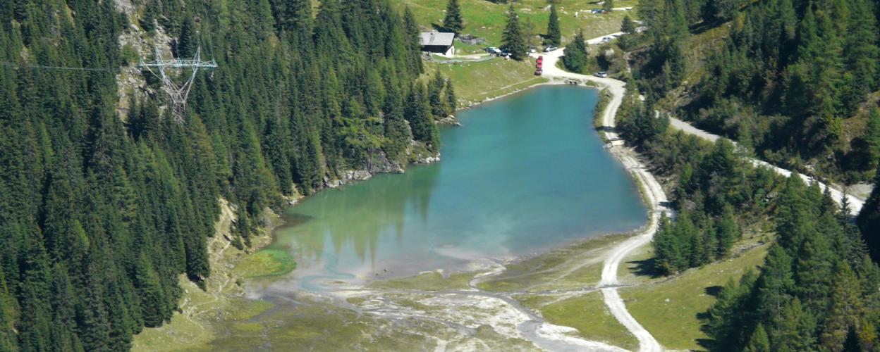
From Obertilliach on the B 111, the 12 km long tour leads through the beautiful Dorfer Valley to the fantastic Klapfsee lake.
The starting point is directly on the B 111 in the Tilliacher Valley. After a few hundred metres on a small tarred road, the gravel track begins. It first leads across meadows with cattle gates. Cross the Gail river via a bridge and follow the route straight ahead, always parallel to the long bed of the Dorfer Bach stream. The next section climbs slowly uphill through coniferous forest. You will reach idyllic picnic spots in beautiful natural surroundings and cross small wooden bridges.
In the last section, the ground is somewhat bumpy and uneven. When you arrive at the turquoise mountain lake, you will find many picnic benches, wooden walkways and swimming spots. An easy hike leads from here to the inviting Porzehütte hut. Further along the trail is a picnic area at the border stone to Italy, as well as the Tilliacher Joch with its impressive mountain panorama. Return along the same route to the main road at Obertilliach.
Conditions, closures and tips — from members who drove here recently.
A nice, easy route with a good hiking opportunity at the end—an easy walk to the Porze Hut (which has a restaurant) or further on to the Italian border.
An easy route, suitable even for drivers with no off-road experience. Some slow-moving traffic during the holiday season. Overtaking is possible.
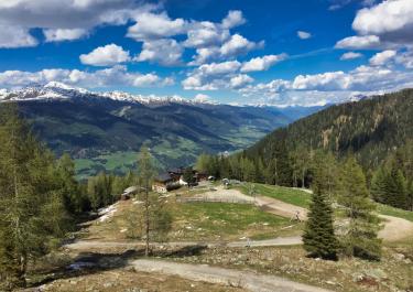
 Austria



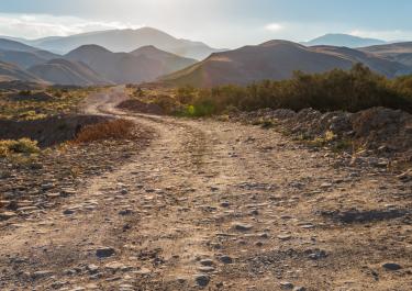
 ItalyItaly