Colle del Colombardo - Valle di Viu

The 22 km long ridge passage with fantastic scenery leads from Condove, which lies on the SS 24 between Turin and Susa, up to Lemie on the SP 32. A stone's throw from here, the scenically beautiful Valle di Viu opens up.
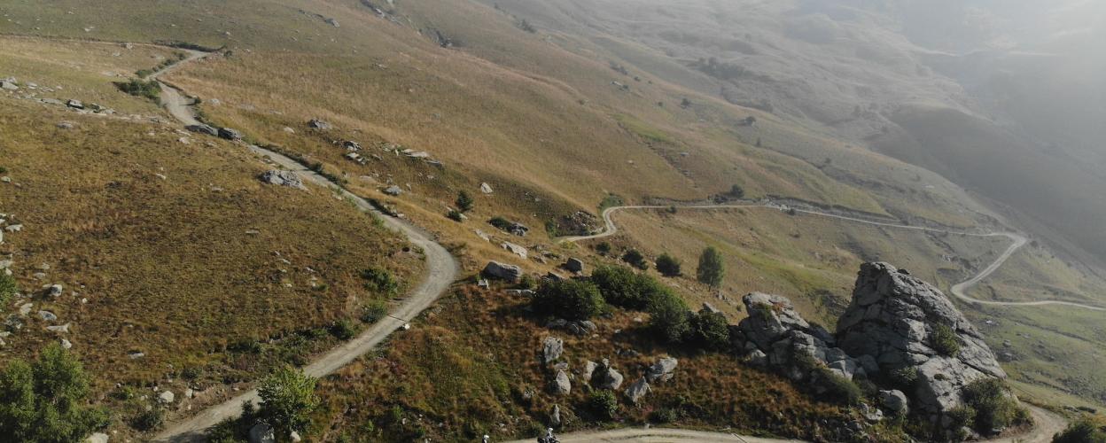
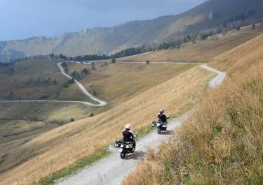
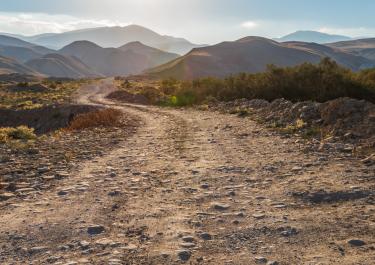
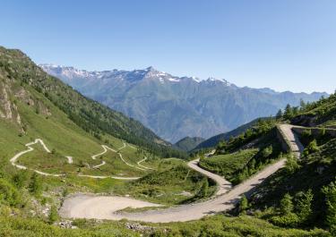
The entry point is to the north of Condove. It can be reached via a winding tarred road. First pass through the village of Mocchie in a very wooded area. The first section continues uphill, alternating between gravel and tarred sections at Rocca. Now you cross the less wooded mountain ridge, past green mountain meadows dotted with boulders. There are abandoned huts at the edge of the gravel road. The route continues winding along the partly washed-out track, with fantastic views of the imposing mountain world of the Piedmont Alps. At Colle del Colombardo is the large Madonna degli Angeli chapel with its summit cross. Here you can enjoy the panorama in the midst of nature. The route leads back down into the valley to San Antonio via many hairpin bends and past flocks of sheep. A narrow tarred road leads past stone houses through the forest to SP 32. Turning left towards Lemie, you reach the Valle di Viu.

The route is also passable again from the north. There are a few slight washouts, but no major technical challenges. Route with great views of the impressive valleys!
The Colle del Colombardo is currently inaccessible from the north—according to a local, there are deep gullies, a washed-out trail, and a few fallen trees. Too bad; I was up there a few years ago—it’s a fantastic route...
https://alpenrouten.de/Colombardo-Col-del_point102.html The westernmost route between Val di Viù (N) and Val Susa (S) leads over the Col del Colombardo. For lovers of gravel roads, it is the perfect alternative to the (paved) parallel route over the Colle de Lis, which runs a few kilometers to the east. But besides the challenge of the gravel road, the route over the Col del Colombardo has plenty more to offer—ranging from the varied landscape and the magnificent views from the summit area to the impressive chapel at the pass itself. The path is mostly gravel, though the northern ramp—which in 2007 still had quite coarse gravel—has since been renovated, so today the crossing from south to north is generally recommended. Just below the expansive and scenic pass summit lies the Madonna degli Angeli Chapel, which also serves as lodging and provides shelter for hikers and shepherds. The summit itself is marked by an impressive cross. The southern approach in Val Susa, which leads from Condove through the villages of Giagli, Mocchie, Rocca, and Prato del Rio, is somewhat harder to find than the northern approach in Val Viù near Villa due to the numerous turnoffs. It should also be noted that the pass summit, which the trail only touches, is not the highest point of the crossing. This is located southwest of the pass at just under 2,090 meters, below Punta Sbaron (2,204 m), whose grassy summit is partially circumnavigated on its eastern flank. The name of the pass likely originates from the term for a wind that blows from Lombardy through the Val Viù and then over the pass.


The track is highly recommended. We started in the north. Right next to the start there is a sign for the driving ban between November and May. There is also a PP free of charge. The trail is mainly gravel with only small washouts. We let the air down to 3.5 bar (4.2) at the back and 2.8 bar (3.5) at the front. It's simply breathtaking on the Colle
.