Monte Ceresera


Restriction: only accessible from 8am to 5pm.
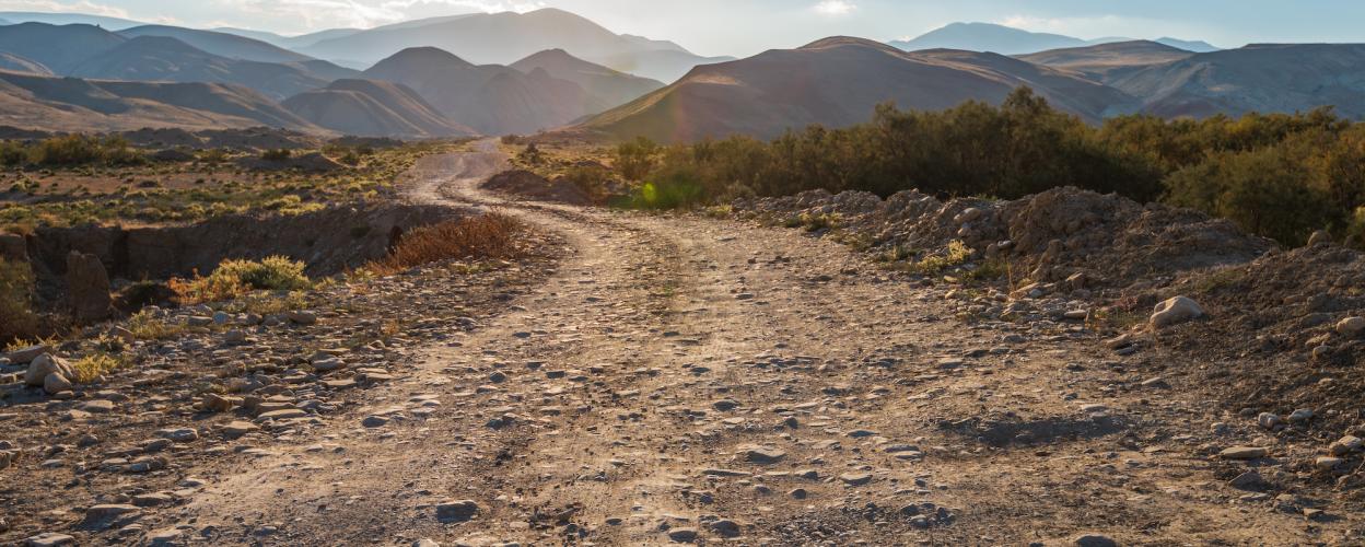
This 22 km long beautiful panoramic route leads through the lush mountain landscape over many alpine pastures and through wide meadows of Friuli. Start at Piancavallo to reach from the SP 29. Over the mountains down into the valley to the SP 61 near Sarone.
From Piancavello, the first section is slightly downhill on a small road with a damaged tarmac surface, and as the route progresses, the road becomes narrower and now runs along the slope. Following the road up, after a few hairpin bends, you reach the Malga Campo Budoia with a small stone house. After that, the gravel road begins and continues to wind uphill on the wooded rocky slopes. Wide views of the valley can be enjoyed from this high-altitude trail. Winding through the forest, the track then leads downhill. A branch to the left leads to the well-kept hut of the Malga Fossa di Sarone. Here it is worth taking a break with homemade food in quiet, impressive nature, surrounded by donkeys and grazing cows. After a piece of forest, gravel and concrete sections alternate in the last section of the route up to SP 61. The winding country road towards Sarone brings you to the medieval Castello di Caneva, whose ruins are worth a visit.

Very beautiful panorama, especially at the start of the tour. Very easy to ride. The Malga Fossa di Sarone hut is unfortunately closed this year according to a notice. However, the Malga Coda di Bosco dal Titti restaurant is worth a visit as an alternative at the end of the tour

At the start of the route in Plancjaval, there is a clear "No Entry" sign for general traffic