Col de la Croisette près Salérans
French Alps, France
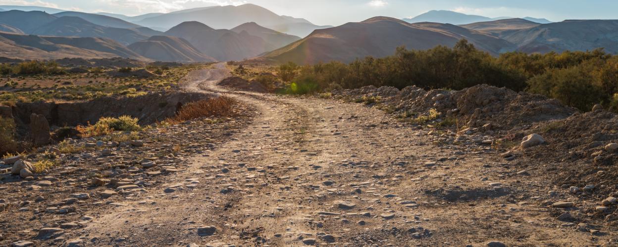
Photo © Vastram shutterstock.com
Length
11km
Max. Height
927m
Difficulty
Light
Suitable for


Rating
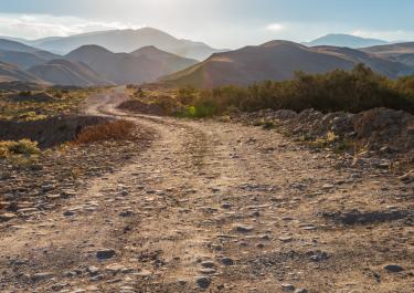
The Col de la Croisette, at an elevation of 927 meters, is located at the foot of the Chabre Mountains and serves as a transit point, connecting Col Saint Jean, Orpierre, and Barret-sur-Méouge.
The route is primarily a gravel track that runs along the southern side of the Montagne de Chabre. It provides a connection between the western town of Ballons and Salérans to the south.
Elevation
Tracks Nearby
Community-Reports (0 Reports)
