

Fichtelgebirge/Upper Palatinate · Germany
From the airport to Michelfeld
6 km·up to 464 m·Light·
Length
6 km
Max. Height
464 m
Difficulty
Light
Rating
★ 2.0
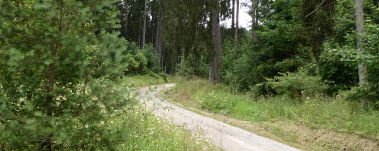
Shortly after the start of the unpaved section at the fork, take the right-hand option directly to the edge of the model airfield. Continue on an easy-to-drive gravel path that leads close to the bank of one of the ponds. The well-developed track goes slightly downhill, including signage, and then parallel to the B8 to Michelfeld.
On the marked path, you can take the exit to the "Auerbase" hotel project. However, nothing more than a mostly unoccupied exhibition pavilion and a "rocket" are visible yet.
Elevation
From the community
Latest reports
Conditions, closures and tips — from members who drove here recently.
Keep going
Tracks Nearby
 Germany
Franconia
2.0
District surfing with ford
7 km·526 m·Medium
Toll-free





All-Tracks
GermanyFichtelgebirge/Upper Palatinate
2.0
At the Maximilian grotto
5 km·519 m·Light
Toll-free
All-Tracks
GermanyFichtelgebirge/Upper Palatinate
2.0
Forest of Veidenstein
3 km·490 m·Light
Toll-free