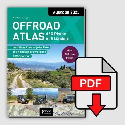
Unser erfolgreicher Offroad Atlas erscheint nun in seiner zweiten Auflage und hat sich bereits als Klassiker etabliert! Jetzt werden 450 Offroad-Pisten mit wichtigen Information...

For this GPS Off-Road Touring Guide, we made four separate trips to Mauritania, spending a total of 18 weeks exploring adventurous trails and travelling off-road in a Steyr 12M18. The result is a collection of 16 off-road routes covering a total of 8,263 kilometres through breathtaking landscapes. We drove every route ourselves, recorded the GPS data, wrote detailed descriptions and documented each route with photographs.
Our off-road routes lead to historic settlements that have long since been abandoned and swallowed by the sand, as well as fascinating ‘lost places’ such as the old locomotives of the iron ore railway. Our Off-Road Touring Guide also takes you to little-known natural phenomena and abandoned forts dating from the French colonial era.
The guide also provides all the information needed for an expedition to Pelican 16, the South African reconnaissance aircraft that made an emergency landing in the desert. Traditional villages, caravan routes, wells and connecting valleys are described in detail.
Our GPS Off-Road Touring Guide to Mauritania takes you to remote, virtually deserted yet spectacular desert landscapes that few travellers have ever visited. The unique scenery offers countless opportunities to make discoveries of your own.
Each route is given a difficulty rating (SG), making it easier to assess the route in combination with the vehicle classes (FZK). We have also rated the routes using a star system based on our impressions of driving enjoyment, scenic beauty and the overall experience. These star ratings are, of course, highly subjective.
In addition, each route includes a rating for the level of experience and equipment required (EXP).
Detailed travel information for independent travellers covers visas and stays, entry requirements, road conditions, climate and the best time to travel. Together with a description of the route through Western Sahara, this provides an important basis for planning your own desert journey.
Tips and tricks on off-road driving and navigation are an integral part of the touring guide, along with a wealth of background information, including details about the off-road route along the iron ore railway and the Pelican 16 aircraft that made an emergency landing in the desert.
Using the included data download code, you will receive the complete GPS data for each route:
– GPS tracks, waypoints and routes in GPX and KML formats.
The KML files are ideal for viewing in Google Earth, while the GPX files are the standard exchange format for importing data into navigation software and GPS devices. The Off-Road Touring Guide to Mauritania also includes recommendations for practical navigation apps.
Numerous photographs and map sketches complete the GPS Off-Road Touring Guide to Mauritania.
We hope you enjoy our Off-Road Touring Guide and wish you an exciting and memorable journey.
A5 format, full colour
280 pages
April 2019 edition