

 German
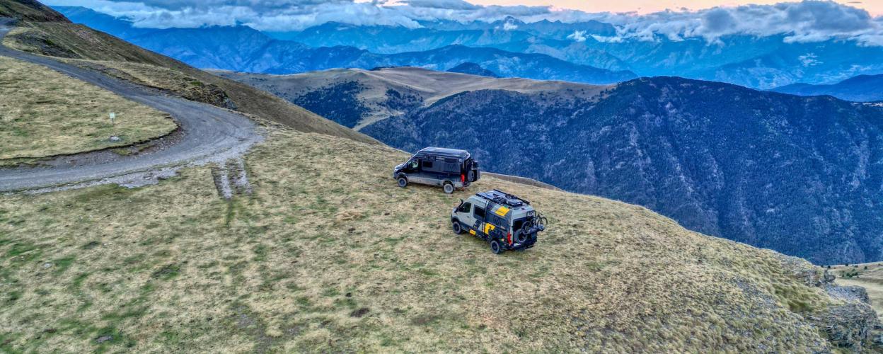
Puerto Sahún
Around 20 kilometers as the crow flies from the highest mountain in the Pyrenees, the 3,404-meter-high Pico de Aneto, there is a beautiful forest track to the southwest that links the town of Castejòn de Sos in the valley of the Rio Esera with the village of Plan on the Rio Cinquera. In terms of off-road fun, this wide, well-maintained gravel road is not very impressive; it is too easy to drive. But it is still fun. Firstly because you can roll along it easily without having to expect any surprises. Secondly because a fantastic panorama awaits you at its peak at an altitude of 2,025 meters.
Start in Chía above the Esera valley. The gravel track climbs slowly up through the forest. Sometimes with a view, sometimes without. A handful of switchbacks, a stretch straight ahead, then you reach the saddle of Puerto Sahún (2,025 m). It lies there, lonely and buffeted by the wind. A ten-minute walk takes you up to the Cabana del Puerto hut. But that's not necessary, because the breathtaking view is also available from the saddle: Pico de la Maladeta (3,308 m), Pico de Aneto (3,404 m) and the rest of the Maladeta massif. For a long time it was thought that the Maladeta was the highest mountain in the Pyrenees, which is why the massif bears its name.
After Puerto Sahún, the track descends into the valley, crosses a mixed forest and meets an asphalt road near the village of Plan..
Latest reports
Conditions, closures and tips — from members who drove here recently.
 Spain




