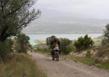
If you come up from Coll de Nargó on road no. 511, after about two and a half kilometers you will come to a turnoff to the right. This leads up to Coll de Llivia as already described. However, if you turn right again after a hundred meters, a new route opens up, namely the one to Coll de Planell Ras.
It immediately crosses the Riu de Sallent stream in two harmless fords. Rough and coarsely graveled, it then winds up a steep slope and surprises with the odd sharp hairpin bend and several steep sections. Once you reach the ridge, it is a little more peaceful and reaches the mountain village of Montanissell in good condition, from which a small road branches off to the right down into the Segre valley.
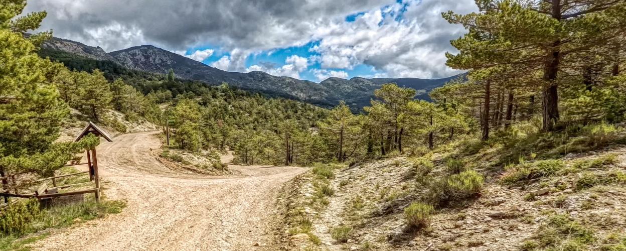
From Montanissell the path gets better and wider. At Coll de Llivia (1,480 m) turn sharply right and continue uphill. Slowly but surely the path winds its way up and presents beautiful views over the peaks in the northeast. These are missing at the Coll de Planell Ras, the highest point on the route at 1,928 meters. Instead, you can reach the namesake of the Sierra de Boumort, the 2,077 meter high Cap de Boumort, on a hiking trail of around one kilometer.
The path continues through sparse forest to the Coll de la Creu (1,297 m) and down to Hortoneda, where a small asphalt road leads down into the valley to el Pont de Claverol.


 German
 Spain