German
Coll de Llívia
The small town of Coll de Nargó, with its 550 inhabitants, is charmingly situated on the edge of the Segre river, which is quite wide at this point. Its population is declining; in 1900, just under 1,400 inhabitants lived here. A stroll through the town on foot is worthwhile, not least because of its Romanesque-Lombard church of Sant Climent with its rectangular tower.
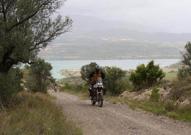
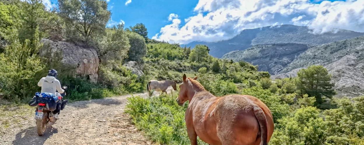
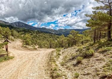
On road no. 511, you leave Coll de Nargó, turn right after two and a half kilometres, then the wheels roll over the fine gravel of a well-maintained track. Past individual houses and farms, the medium-wide path heads up the slope in curves and bends. At an altitude of 1,279 metres, it crosses the Collada de la Creu de Ferri, offers a beautiful view down into the valley to Bóixols and shortly afterwards reaches the Coll de Llivia (1,480 m). From up there, the view stretches far to the south to the peaks of Cap de Carreu, which reach up to 1,800 meters. The next town to the south is Abella de la Conca, and to the north Cabò - both of which can only be reached on foot.
As the trail continues, the altitude changes again and again, sometimes in the forest, sometimes in the open. To the south, the Pantà de Sant Antoni reservoir glitters. The last stage leads downhill to Pessonada, from where an asphalt road curves down to the reservoir.
Latest reports
Conditions, closures and tips — from members who drove here recently.
 Spain