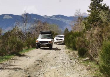
South of Ribes de Freser, fans of leisurely off-road driving can enjoy a mixed asphalt/gravel mountain road that leads up to the relatively unknown Coll de Jou. At an altitude of 1,636 meters, it serves as a starting point for hikes in the triangle of Ribes de Freser, Ripoll, Ogassa. Next to the pass is the Refugi forestal de Sant Jordi, an alpine hut where you can take a wonderful break with a great view.
The start of the route is in the town of Bruguera, which you can reach on road no. 5263 from Ribes de Freser. For the first seven kilometers or so, the tires roll along a narrow path with a non-slip concrete surface. Curves, bends, all very nicely laid out. The wooden sign of the Coll de Jou comes into view on a saddle. Stop, enjoy the fantastic view, then continue to the Sant Jordi alpine hut, which is just behind the pass. This is a great place to have a picnic for lunch - because of the peace and quiet and the peaceful atmosphere.
Now the gravel section of the route begins. The surface is flat and of fine gravel, the road is wide. There are no gullies or holes to be expected, so even off-road beginners will have an easy time here. Since the track runs mostly through the forest, there aren't many views. No matter - the ride is still fun. At the river Ter you come to the N 260 and can either turn left to Ogassa or right to Ripoll.


 German


 Spain