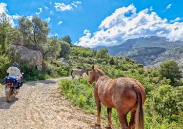
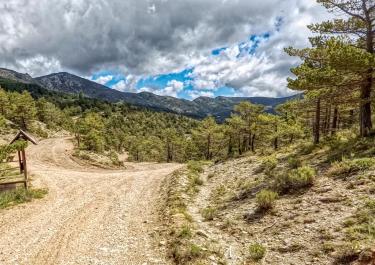
The mountains east of the Antoni reservoir, which dams the Pallaresa river, are not high. Nevertheless, they are worth a detour. And that is because of the enchanting view down to the reservoir and over the mountains with heights of around 1,300 meters. The region is sparsely populated and a must for anyone who doesn't like crowds.
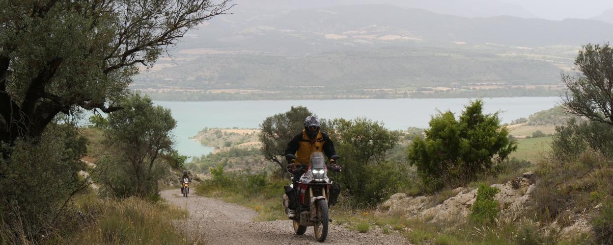
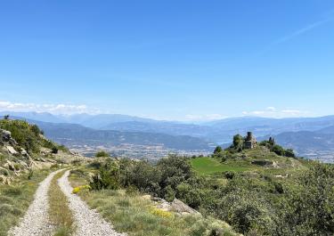
The approach to the gravel tour into solitude begins at the upper end of the reservoir in el Pont de Claverol. Five kilometers along the eastern bank to Aramunt. In the town, follow the sign to Montesquiu and Orcau, after one kilometer switch to gravel. Continue to follow the above sign. Beautiful views of the reservoir open up. A dry riverbed is crossed, then the route goes up the mountainside through a bizarre rocky landscape. Still on wide, fine gravel. The abandoned village of Montesquiu appears in front of the steering wheel or handlebars. The trail goes all the way around and offers the most beautiful views of this tour - down to Montesquiu and the reservoir.
At an altitude of 882 meters, a kind of pass is crossed, after which it is all downhill. Signposted Orcau. The small town is 750 meters high and is connected to the main road in the valley of the Riu d'Abella by a five-kilometer-long asphalt road.


 German
 Spain