German

Sierra de Sis
To the west of the Embalse de Escales reservoir, a mountain range rises abruptly from the hills of the foothills of the Pyrenees - the mighty Sierra de Sis, visible from afar. It is so impressive that people used to call it the "Great Sierra de Sis". The Sierra is around 28 kilometres long and offers wonderful views of the white peaks of the Pyrenees. The massif is bordered to the west by the Rio Isàbena, its peaks approaching the 1,800-metre mark.
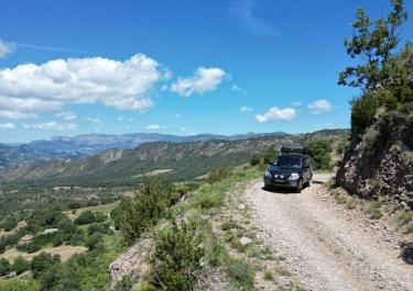
There are plenty of views on the gravel road that cuts through the Sierra de Sis in a large S.
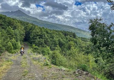
The starting point is the small town of Las Herrerias in the Isàbena valley. Three kilometres of serpentine uphill form the beginning before an unpaved road branches off to the right just before the hamlet of Calvera. It curves downhill for about a kilometer, before leading steeply uphill in narrow, rough gravel bends. This is where you are suddenly wide awake at the wheel of a car or on the handlebars of a motorbike. Once you reach the top, the track follows a ridge in a more civilized manner and offers the first views of the Pyrenees and the el Turbòn mountain.
13 kilometers later, a fork appears. Turning right, it goes up to the viewpoint on the 1,790-meter-high Amariedo mountain. Rating: valuable. So make sure you take the one-kilometer detour. The route then meanders comfortably downhill on a decent gravel surface towards the Escales reservoir.
Latest reports
Conditions, closures and tips — from members who drove here recently.
 Spain