Offroad Spanien Die Ruinen von Castarlenas
Huesca · Spain Closure

The ruins of Castarlenas

15 km·up to 974 m·Medium·
Length
15 km
Max. Height
974 m
Difficulty
Medium
Rating
★ 4.0
4 reports

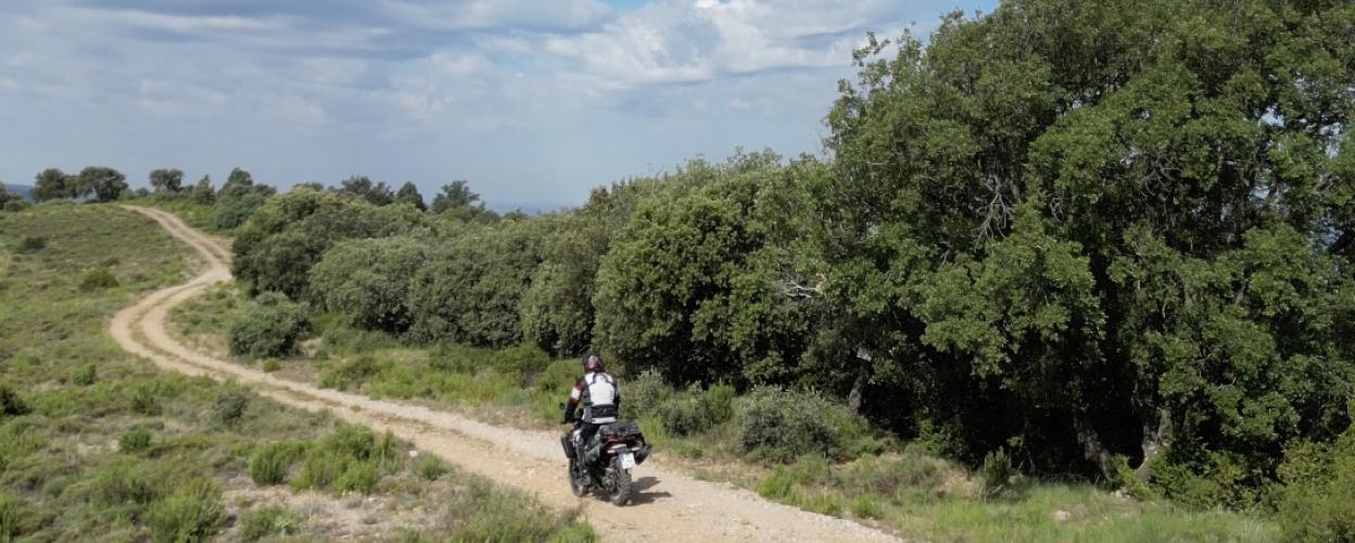
An imposing church, an abandoned village, a high cliff face, a path that is not without its challenges - these are the ingredients of a circular tour through the Sierra del Castillo de Laguarres. This mountain range rises east of the Barasona reservoir and is popular with hikers, especially because of its numerous viewpoints and a footpath along a cliff face. Our tour also runs along this steep slope, providing a bit of a thrill.

We reach the starting point of Torres del Obispo on the N-123a road from the Barasona reservoir after about six kilometers. Before the village, turn left, go around it once, then right onto a gravel track. At first it seems quite civilized. At the next junction, we take the left path, which now becomes narrower and worse. Rough rubble, stone steps, transverse and longitudinal gullies throw themselves in front of the tires. Without reasonable ground clearance, you can turn back straight away. Which would be a shame, because the abandoned village of Castarlenas soon appears. The visual highlight is its mighty church, which stands on a hill. Castarlenas has been abandoned since the 1970s and is falling into disrepair. On the edge of the village there is a flat area that is suitable for taking a break or spending the night.

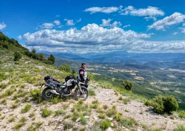
The path then becomes a little narrower and rougher, makes a 180-degree turn and finally winds along the steep drop mentioned above. Don't worry - there is enough distance from the edge so that even those with a fear of heights can enjoy the magnificent view of the surrounding mountains. Back at the junction we head for Torres del Obispo and reach the asphalt again there.

Elevation
From the community

Latest reports

Conditions, closures and tips — from members who drove here recently.

Closure or obstruction

We entered the track from the north and skipped the ruins. There were lots of signs saying “Prohibido Privado” in the opposite direction. I think someone here doesn’t want people driving this way.

x
xplr_more
VW Bus · 02.09.2026
Closure or obstruction

And a Spanish farmer sent us back after a third of the way. He said the land was private. He’s probably done this before. He was a bit annoyed, but still polite. Maybe it’s better to remove the track from the list so that more people don’t get upset about it.

M
Markus Eisenbraun
Van 4x4 · 21.09.2025
Closure or obstruction

We didn't even make it to the fork in the road when a Spanish ranger stopped us and told us that this area was private property and that we had to turn around immediately. But there were no signs to confirm this. We were probably just unlucky that he was standing there with his pickup truck.

D
David
Tenere 700 · 26.06.2025

Drived the track, no problems, everything clear, 4x4 and ground clearance are essential. However, a few branches were hanging low, so we cleared some space with our long loppers. Access to the abandoned village is almost impossible, everything is overgrown, but it is still exciting to see from the outside. The plateau near the village described in the text is blocked, camping is prohibited here. We spent the night at the highest point of the tour at approx. 1000m, quiet and with a great view. If you want to spend the night there, please keep the place clean, take your garbage with you and don't leave anything behind the bushes, take a toilet with you!

J
Johannes Rauch
MB Sprinter4x4 · 23.+24.6.2025
Keep going

Tracks Nearby