German
Cajigar and Sierra de Berganúy
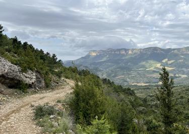
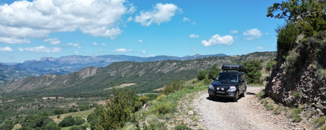
On the border between Aragon and Catalonia, the Sierra Berganùy rises between the river valleys of the Noguera Ribagorcana and the Rio Isàbena. For us off-roaders, a proven way to cross it is a gravel track leading from one river valley to the other. Technically speaking, it's not particularly demanding, so it's something to look at, smell and enjoy.
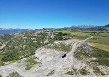
The starting signal is given in La Puebla de Roda in the valley of the Rio Isàbena on the A-1605 road. Our gravel track is well behaved and civilized. Its surface is a bit loose, but it's easy to drive on. The route climbs the western slope of the river valley in gentle curves and bends to reach the hamlet of Cajigar. There the path to the Coll de Vent branches off (see previous tour). The main track, however, runs straight ahead and continues to spoil us with its decent gravel surface. It reaches its peak at an altitude of 1,200 metres. It then meanders downhill in harmonious curves and bends and meets the N-230 road on the banks of the Noguera Ribagorcana four kilometres before the town of Arén.
Latest reports
Conditions, closures and tips — from members who drove here recently.
 Spain