German

Riu de Saldes
The village of Saldes, with a population of 300, lies at the foot of the 2,444-meter-high Pedraforca massif, whose two peaks rise characteristically from the low mountain landscape. When the sun goes down, it bathes the massif in a glowing red color and creates a mystical atmosphere. The sky at night is particularly good to observe in the Astronomy Center. There are also nice bars and restaurants in the town and even a castle ruin. Saldes is popular with hikers as a starting point for trips to the Cadí-Moixeró Nature Park.
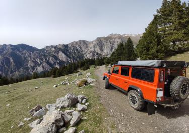
The river of the same name, the Riu de Saldes, also has its source near Saldes. It flows eastwards and flows into the Riu Llobregat. The off-road tour that follows its course promises plenty of variety, both visually and in terms of driving. Constant ups and downs paired with changing road surfaces and endless curves make this trip a great experience.
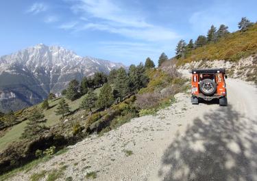
Coming from the B-400, you don't drive straight up to Saldes, but turn off after Vallcebre and then immediately left again towards the B-400. This mixed gravel/asphalt stage leads to Saldes in a much more exciting way than the short version. Just before reaching the town, turn right onto a gravel track, signposted to the hamlet of Gresolet. And you're immediately in the middle of following the river. Basically a constant uphill, downhill. More downhill, though, because from a height of around 1,100 meters, the track slowly but surely descends to around 800 meters in its 22-kilometer length. Sometimes with, sometimes without a view, sometimes harmless, sometimes close to the edge of the abyss. In between there is some rough gravel, a few grooves and ledges to keep the whole thing from becoming monotonous. At some point the asphalt rushes beneath the tires again and you have the choice of either turning right to Vallcebre or left to Gardiola de Berguedà. den Reifen und man hat die Wahl, entweder rechts nach Vallcebre oder links nach Gardiola de Berguedà weiterzufahren.
Latest reports
Conditions, closures and tips — from members who drove here recently.
 Spain