
 German
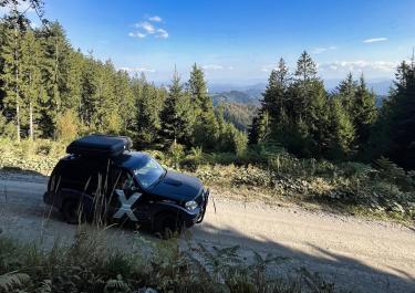
We drove the route in the opposite direction. Right at the start of the trail, there was a “No Entry” sign, but thanks to our GPS, we were able to drive around it and then get onto the trail without any trouble. There were a few sections that had been freshly paved. The detour to Urlaub Gora is well worth it—the views are breathtaking. The hut up there was open and staffed, and we were also able to visit the small church. Unfortunately, just before the end of the trail, the route was closed again due to construction work. This time we couldn’t find a detour and spent ages navigating the maze of gravel paths to get back down the mountain. The route will certainly be passable again as soon as the construction work is finished. Unfortunately, there were no signs indicating the duration of the closure.


Around the Uršlja Gora
Not far from the Austrian border lies Žerjav, the starting point of this tour in northern Slovenia. The town with just under 300 inhabitants belongs to the municipality of Črna na Koroškem. Coming from the 425, turn right towards Jazbina. After the last houses, the asphalt road turns into a well-maintained gravel surface. The slightly ascending track runs mostly through the forest along a rock face, partially secured by guard rails.
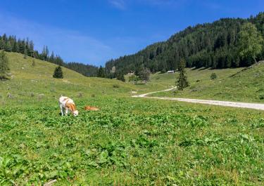
At the Osnovna Sola junction, keep left and continue through the bend towards Uršlja Gora. You reach a pasture area that offers a view of the Karawanks ridge. You drive past the houses of Lauter for a short stretch on tarmac. Continue through the forest to the next bend, where you keep left again. At the next fork you can continue the tour towards Koča na Naravskih ledinah, or take a 7 km detour to the Uršlja Gora mountain (1699 m) with its television tower, summit cross and small baroque chapel and enjoy a wonderful panoramic view. About 1.5 km before the summit, the road ends at a car park at 1425 m. From here it's all about hiking.
Back to the route, you continue to the Koča na Naravskih mountain hut at 1072 m. An ideal place for a break.
Difficulty level according to Denzel 1
Latest reports
Conditions, closures and tips — from members who drove here recently.
Tracks Nearby
 Slovenia




 Slovenia
 Slovenia