 German
Closure or obstruction
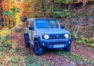
We wanted to drive the track in the other direction. But the access road in Dolenja Trebuša has a height limit of 3 meters. So it’s no longer suitable for large cars.
B
Bruno F.61
Fuso 4x4 - 6,5 to - · September 2026


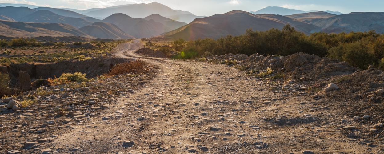
The Slovenian town of Lokve is located in the Primorska region, in the southwest of the country. Lokve is known for its picturesque location at the foot of the Julian Alps. The tour takes you on the 608 from Lokve to Dolenja Trebuša.
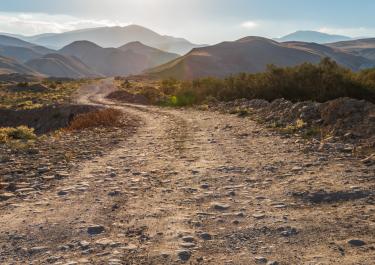
You leave Lokve and turn left on the 608 behind the bus station in the direction of Cepovan. Immediately behind the town, the tarmac turns into gravel, which remains until shortly before Cepovan. Here you turn right and continue on the 608 in the direction of Most na Soci. Behind the town you pass a memorial for fallen pilots. After about 1 km you turn right to Dolenja Trebuša. The route leads uphill through a sparse forest, with beautiful views of green meadows and small farmsteads. After a bridge, the route continues on gravel. You drive along the slope, in places the gravel becomes deeper and coarser. The gravel road ends at the signpost to Dol. Trebuša and the route continues downhill on a well-paved road with guard rails towards the stage destination.
Difficulty level according to Denzel 1
Conditions, closures and tips — from members who drove here recently.
We wanted to drive the track in the other direction. But the access road in Dolenja Trebuša has a height limit of 3 meters. So it’s no longer suitable for large cars.
 Slovenia
 SloveniaSlovenia