German
Closure or obstruction
Unfortunately, the route is closed
P
Peter Boeddeker
Transalp PD 06 · 20.07.2025


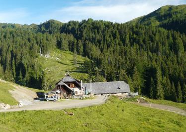
The 22 km tour leads high up to the Rattendorfer Alm on a lovely gravel road. Through the forest and across clearings, you reach the beautiful mountain world of the Eastern Alps, not far from the Italian border.
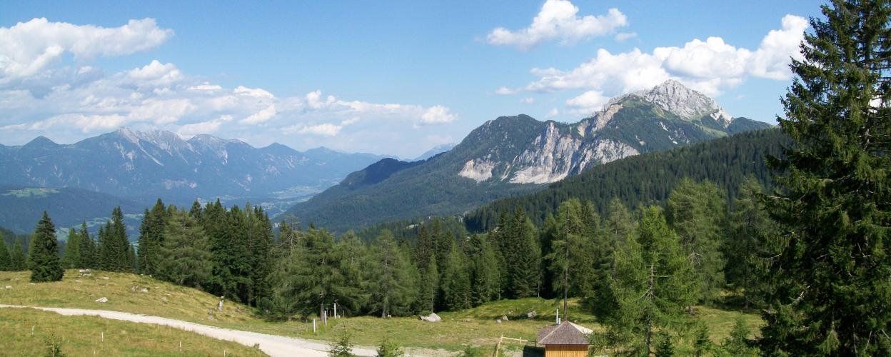
The start and end point of the tour is at Jenig on the B 111. From here, you first drive to Rattendorf and cross the Gail river. A small tarred road leads out of the village towards the Rattendorfer Alm. The gravel track begins in the forest at a small pool of water. It winds its way uphill through several clearings and through beautiful woodland, with concrete-lined streams crossing the path. You cross the rocky riverbed of the Dober on a bridge and reach a plateau with lush alpine meadows. The last section winds its way uphill until you reach the beautiful alpine hut with traditional food. Take a break on the lovely terrace and relax while enjoying the wonderful Alpine panorama. Superb views of the Trogkofel rocks and the Gaital valley. Take the same route back downhill to Jenig.
Conditions, closures and tips — from members who drove here recently.
Unfortunately, the route is closed
Unfortunately, a general driving ban!

 Austria