

 German
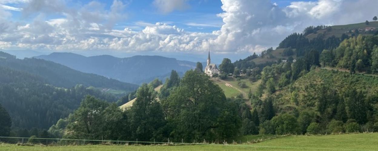
Hochfeistritz
This very well-maintained public gravel road leads uphill for approx. 6.4 km to the parish church of Hochfeistritz, which offers beautiful views (pictures 1-4). After the church, the road continues uphill and you come to the (purely psychological) ‘key point’.
Right at the top of the route is a cattle grid, and if you are coming from below, you might initially think that the route continues along a meadow path because the cattle grid is overgrown with grass (picture 5). The route then passes through a hamlet before reaching the L113, the Diexer Landstraße, at the end.
There is also a completely paved road leading from the B92 to the parish church. This runs south of the gravel road.
Latest reports
Conditions, closures and tips — from members who drove here recently.
 Austria



