 German
A very nice route and quite easy. It takes about 1.5 hours
A
Andi
4x4 Sprinter 7m · 20.09.2026


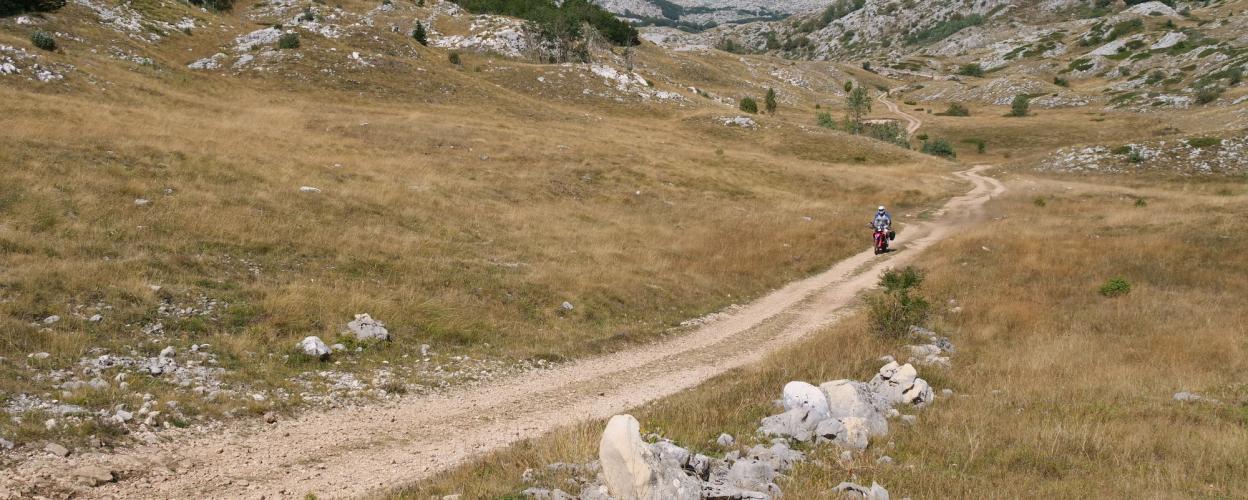
The Durmitor is a mountain massif in northwestern Montenegro. As part of the Dinaric Alps, it is bordered by the Tara River to the north, the Piva River to the west, and the Kormanica River to the south. Its highest peak is Bobotov Kuk, standing at 2,523 meters.
The 85-kilometer-long Durmitor Panorama Road circles the massif and is considered one of Montenegro’s most beautiful scenic routes—certainly worth a visit. However, the far more exciting way to explore the Durmitor is by taking the track that traverses its length. Not overly difficult to drive, the route essentially follows a broad high plateau at an elevation of about 1,800 meters.
The starting point is the village of Pišče, located on the Panorama Road (R16). Head southeast along the R16, ascending gently, until about 15 kilometers later, where the off-road track branches off to the right. From here, welcome to solitude. Up here, there is no trace of human civilization to be found. Like traveling to another world, the pleasant gravel track winds through the karstic, green hillscape of the Durmitor.
Eventually, the descent into the Kormanica Valley begins, ending in the village of Duži at the asphalt road. Turning right leads further along the river, while to the left lies the main road, the M6.
Conditions, closures and tips — from members who drove here recently.
A very nice route and quite easy. It takes about 1.5 hours
The trail remains in good condition.
Great track, no complaints
At the end of May, a small patch of snow about 150 meters long prevented us from starting the hike at the pass.
The route is highly recommended for its scenic beauty. The drive there alone is a dream. Once you arrive, you’ll find gravel dirt roads. Varied terrain and solitude. In my opinion, four-wheel drive isn’t necessary. It’s more comparable to my rough gravel road. Ground clearance is an advantage but not essential. Currently driven with a Toyota Hilux; previously in 2023 with a T4 Syncro.
Just drove the route. The track looks like it's just been plowed. Especially at the start. I've ridden a lot of slopes and would rate these as black in some places. So in comparison, up to the Col de Sommeiler was much easier and it's black. Otherwise, the routes to Buch are really great. Keep up the good work. Best regards Andre Rößler
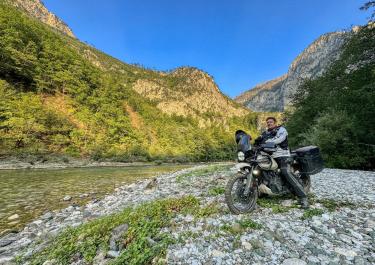
 Montenegro




 Montenegro
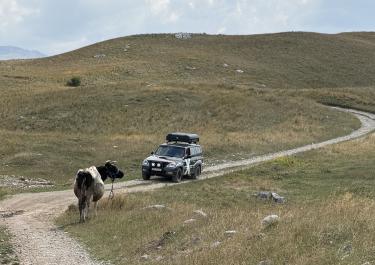 Montenegro