 German
Closure or obstruction
We agree with Christian's comment from July 13, 2025. Due to ongoing roadwork, it is still not possible to drive the entire route.
S
Sandra
MAN TGE 4x4 · 23.8.2025


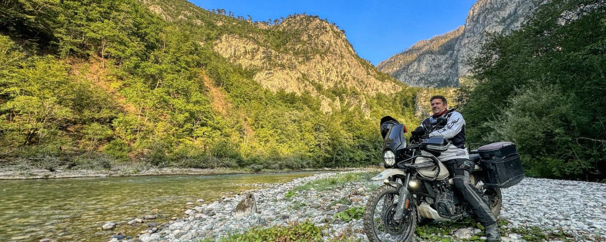
The Tara River, which merges with the Piva at the border of Montenegro and Bosnia and Herzegovina, is a mountain river spanning 140 kilometers. Its most stunning feature is its nearly 80-kilometer-long canyon, a natural marvel that reaches depths of up to 1,300 meters, making it one of the longest and deepest canyons in Europe. A true paradise for rafting enthusiasts.
The downside: reaching the banks of the Tara by vehicle is nearly impossible. Nearly impossible, because with an off-roader, it’s doable.
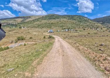
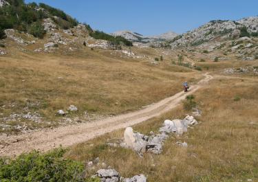
The starting point is the town of Žabljak, located along the M6. From there, follow the signs to Tepca, and soon you’ll find yourself on a well-maintained gravel track that can be driven at a good pace. Initially, the route runs alongside towering rock walls, offering spectacular views of a narrow valley. About two-thirds of the way in, the track begins to descend in smooth curves and switchbacks toward the Tara River. Before reaching the riverbank, it passes through the village of Tepca at an elevation of 870 meters. From there, it’s just under four kilometers to the Tara’s shore, at around 600 meters altitude.
Turn off the engine, pull out your picnic supplies, and relax—this is as idyllic as it gets.
Conditions, closures and tips — from members who drove here recently.
We agree with Christian's comment from July 13, 2025. Due to ongoing roadwork, it is still not possible to drive the entire route.
The road has since been asphalted and is not passable to the end due to construction work :/
 Montenegro




 Montenegro
 Montenegro