 German
Closure or obstruction
There was a rockfall on the route between the village of Velje Duboko and the lake, which is currently closing the route completely.
@
@vanwelike
Jeep Wrangler & Sprinter L2H2 · 02.06.2025


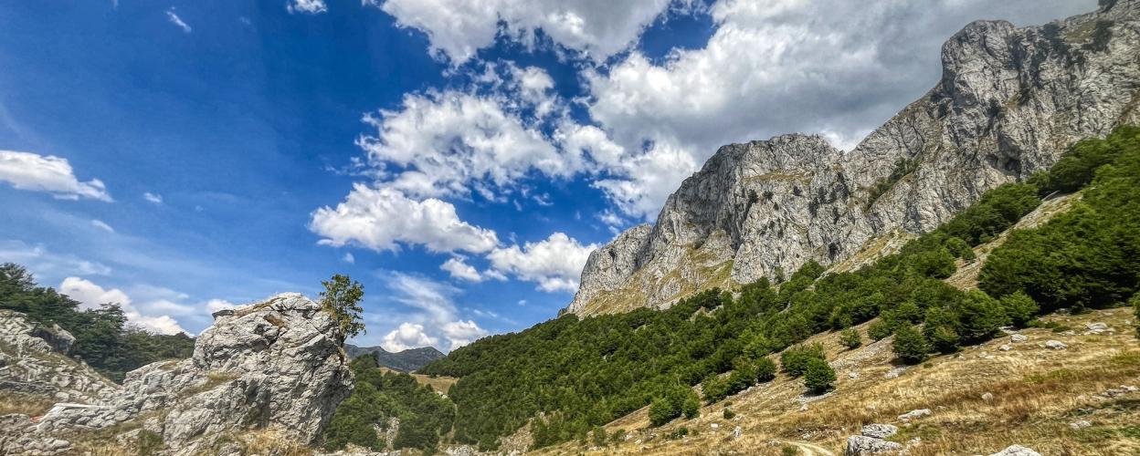
Those who see it for the first time believe they are looking at a movie set – the Kapetanovo jezero, or Captain Lake in English. This idyllic body of water, 480 meters long and 330 meters wide, could easily take the lead role in any local film. Lush green meadows surround the turquoise waters, while forested slopes of high mountains rise up all around, and solitary cabins are scattered in the vicinity. The glacial lake can be reached from Nikšić via the Zagrad mine and the villages of Luka Bojovića, Bar Bojovića, and Nikšin Kiljan. According to legend, the lake was formed because a fairy forgot to close a spring. In any case, the forgetful fairy did a good deed.
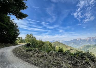
An exciting path leads from Kapetanovo across the Lukavica plateau down into the Morača valley. It's thrilling because it's challenging and demanding. The surface alternates between gravel and dirt, with narrow hairpin turns and steep descents that get the adrenaline flowing. Overall, the route descends continuously from the lake. The descent to Velje Duboko is particularly intense. After crossing the Mrtvica, there is one last climb over a small saddle, after which the path winds down to Meduriječje into the Morača valley.
Conditions, closures and tips — from members who drove here recently.
There was a rockfall on the route between the village of Velje Duboko and the lake, which is currently closing the route completely.
Thanks for the info! Is there any chance of getting past with a sport enduro bike?

 Montenegro


 Montenegro

 Montenegro