Am Risnjak Nationalpark
Kvarner Bay · Croatia

At Risnjak National Park

57 km·up to 1.405 m·Medium·
Length
57 km
Max. Height
1.405 m
Difficulty
Medium
Rating
★ 4.0
5 reports

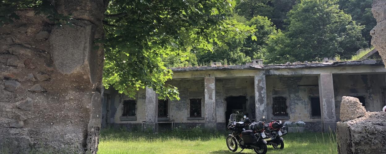
In the hinterland of the Kvarner Bay, north of Rijeka, this exciting 57 km route leads close to the border with Slovenia into the mountains of Croatia. Abandoned military facilities with bunkers characterize the beautiful tour.

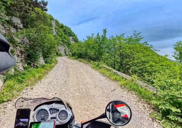
You first drive from Rijeka to the D 3 via the E 65. The entry point of the track is on a narrow tarmac road. The gravel track initially leads uphill in serpentines through the forest. Past a clearing with individual houses, fantastic views of the sea open up here. A small asphalt section follows. Then a short stretch leads steeply and over stony ground up to the peak of Guslica. A wonderful mountain panorama awaits you on the rocky plateau with old buildings, bunkers, tunnels and a transmitter. From the stretch it goes downhill through the forest, on an easily navigable track. You reach a covered picnic area with a fireplace. Some ruins of houses, an abandoned mill and old walls lie along the way. Another branch takes you up to a historic castle ruin. The last section of the route through the hilly landscape leads to the Slovenian border, to the small mountain village of Lisac. The tour ends here. Narrow tarmac roads take you back to the coastal strip near Rijeka.

Elevation
From the community

Latest reports

Conditions, closures and tips — from members who drove here recently.

Easy trail, mostly large gravel surface. There were no closures on the trail when we rode it from end to start. Unfortunately, it was cloudy at the summit of Guslica. Glad we did this trail.

C
Conor Crowley
At Risnjak National Park Kvarner Bay, Croatia - toyota hilux · 28 September 2025

We started the route in Lisac. The trail is very easy to ride and ideal for “off-road beginners.” From the gate to the summit of Guslica, it gets really rough again, but the view is breathtaking!

S
Sabrina
Sprinter 4x4 · 08.09.2025
Closure or obstruction

Beautiful and long route mostly on gravel. Unproblematic with an off-road vehicle. The path to the Guslica summit was closed today (Saturday 14.06.2025) after almost halfway with a barrier, but it could have been opened (not locked). We took the opportunity to hike to the summit. Two hours including a break. At the first bend in the closed road, a steep path branches off and leads directly to the summit. We walked back the way we came

.

M
Michael
Ineos Grenadier (mit Dachzelt) · 14.06.2025

A beautiful, easy route that's a pleasure to ride; the surface is in good condition even at the second turn. Well worth the trip.

C
Christian
Mercedes Sprinter 4x4 · 08.05.2025

A very scenic and long route, but easy to drive; the turn-off to the radar station is steep and has coarse gravel.

C
Christian
Toyota Landcruiser · 04.05.2024
Keep going

Tracks Nearby