 German
A beautiful run through a dense forest. I couldn't ski the last 700 meters because there was still old snow on the trail. It was fairly easy to ski
M
Max der D-Max
Isuzu D-Max · 06.05.2026


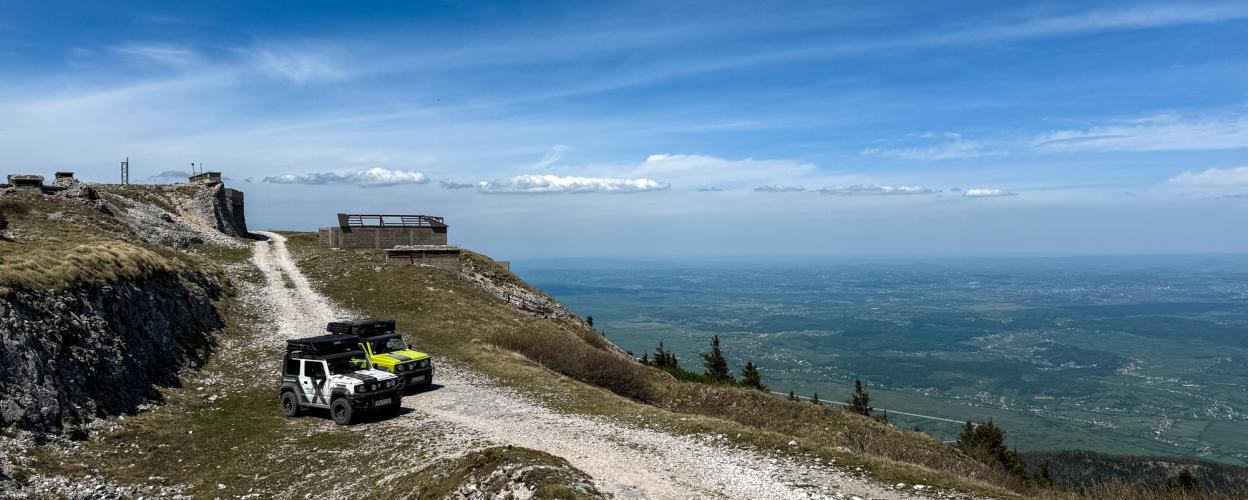
In the interior of Croatia, this branch line leads 13 km to the border with Bosnia. For the most part, you drive through a beautiful forest area. At the end, bunkers and ruins lie on the summit in a fantastic mountain panorama.
From the D1, you branch off onto a wide gravel track. In the first section, the route leads steadily uphill through the forest on rough ground. You pass a small lake. The next section continues along the slope and across meadows, in some places the track is graveled deeper. You follow the path past a ruin and a house and reach the open air. The view over the wooded slopes to the transmission masts on the summit is wonderful. Narrow and covered with rough stones, the track leads along striking rock faces to the end point. Individual conifers can be found here on the meadows dotted with rocks. You are rewarded with a breathtaking panoramic view. In the impressive nature of the Croatian and Bosnian mountains. The bunker complex built into the white rocks with the remains of tunnels can only be viewed from the outside. The same path leads back into the valley to the D1.
Conditions, closures and tips — from members who drove here recently.
A beautiful run through a dense forest. I couldn't ski the last 700 meters because there was still old snow on the trail. It was fairly easy to ski
A very exciting trail, and even challenging in the final stretch. At the start, down in the forest, there are a few turnoffs to the right and left, but after a while they lead nowhere. At the top of the summit, there are cool abandoned spots and an amazing view. The route isn’t far from the Željava aircraft hangar.
 Croatia



 CroatiaCroatia