German
Istria · Croatia
Veprinac - Račja Vas
20 km·up to 1.042 m·Light·
Length
20 km
Max. Height
1.042 m
Difficulty
Light
Rating
★ 2.0
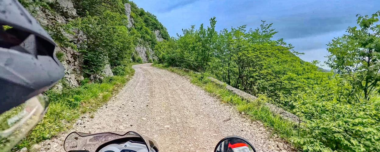
The gravelled connecting path between Veprinac and Račja Vas leads through lonely mountain forests with isolated clearings at an altitude of over 1000 metres.
The track is in good condition and is gravelled throughout, with some deep gravel. In some places there are transverse grooves to drain water and protect against erosion.
In between there is a 3 km long asphalted section. Gravel paths with no prohibition signs branch off to the right and left, making it worthwhile to discover some side paths.
On the descent to Račja Vas there are views of the Istrian mountains in some places.
Elevation
From the community
Latest reports
Conditions, closures and tips — from members who drove here recently.
Keep going

 Croatia