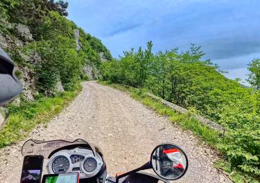
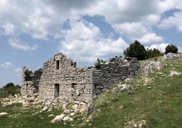
A nice forest trail, but that's about it—good as a detour around the tunnel. The “Medium” difficulty rating here might be appropriate for heavy touring enduros. Otherwise, we rode everything in rear-wheel drive. We then turned left and right, and that’s when it got steeper and a bit more challenging. Overall, not much of a view—a bit disappointing.

Tracks at Veliki Planik
In the northern part of Istria, the route is 13 km through varied terrain on a hilly plateau. There are wonderful views of the Kvarner Bay and the vast landscape of the national park.
From the E 751 motorway, you reach Poklon, the starting point of the route at the Visitor Centre of the nature park. In the first part, you drive onto a plateau. The gravel road with partially loose ground leads along a high path with magnificent panoramic views. The summit of the imposing Veliki Planik is one of the highest in the area. In the next section, the road winds downhill, with a deep gravel section. You continue through wide meadows with bushes and trees through untouched nature, down to the end point of the route at Dolenja Vas. From here, the motorway leads back to the Adriatic coast. The port city of Rijeka with the Trsat castle complex, a wonderful old town and promenade is worth a visit.
Latest reports
Conditions, closures and tips — from members who drove here recently.
Occasional beautiful views of Kvarner Bay; otherwise, the route is mainly through the woods with no distant views. The surface consists mostly of firm sand/gravel, with some loose gravel on the descent. An easy route; the sections with loose surfaces tend to be of medium difficulty.
It starts off easy, through beautiful forests. From the highest point, you could see both the western and eastern coasts of Istria. The descent through coarse, loose gravel is challenging. But without the Offroad Atlas, I wouldn't have experienced this adventure.
A very nice route, but the descent is steep in places and covered in coarse gravel.