German
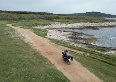
A route that can be ridden quite quickly. The view at the end is beautiful. Thank you!
I
Isi
Land Cruiser · 15.07.2025


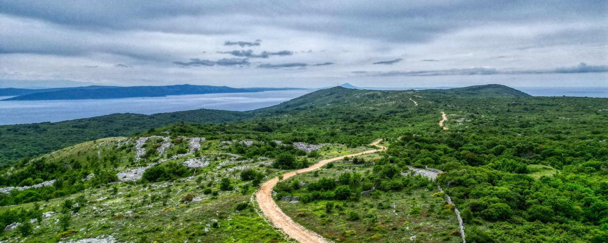
On the Istrian peninsula, this 13 km long route leads through hilly landscapes near the east coast. It winds and has bumpy sections through Croatia's maritime vegetation.
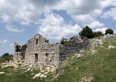
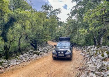
The starting point of the route is near the lively town of Labin. You reach Kranjci and continue to follow a narrow tarmac road uphill through the forest. The gravel road begins at Gora Glusici. A small section leads past isolated houses on a dusty track. After that, gravel and ground alternate with asphalt. The narrow, uneven track is partly bordered by stone walls. There are some ruins and typical local huts along the route. You continue uphill and reach beautiful viewpoints on the peaks. The last part is slightly downhill. The fabulous views extend over the wide meadows to the sea and the offshore island of Ces. After an antenna mast, the track leads onto a road near the village of Skitaca. The end point of the tour.
From here you can reach the wonderful viewpoint Vidikovac or many of the small, beautiful bathing bays along the coast via a winding, narrow tarmac road with a constant sea view.
Conditions, closures and tips — from members who drove here recently.
A route that can be ridden quite quickly. The view at the end is beautiful. Thank you!
You have a great view at the top and the paths are easy to navigate.
From the high plateau, there is a beautiful view of Ces Island. The route was relatively easy to navigate.
A very scenic and easy-to-ride off-road route
 Croatia