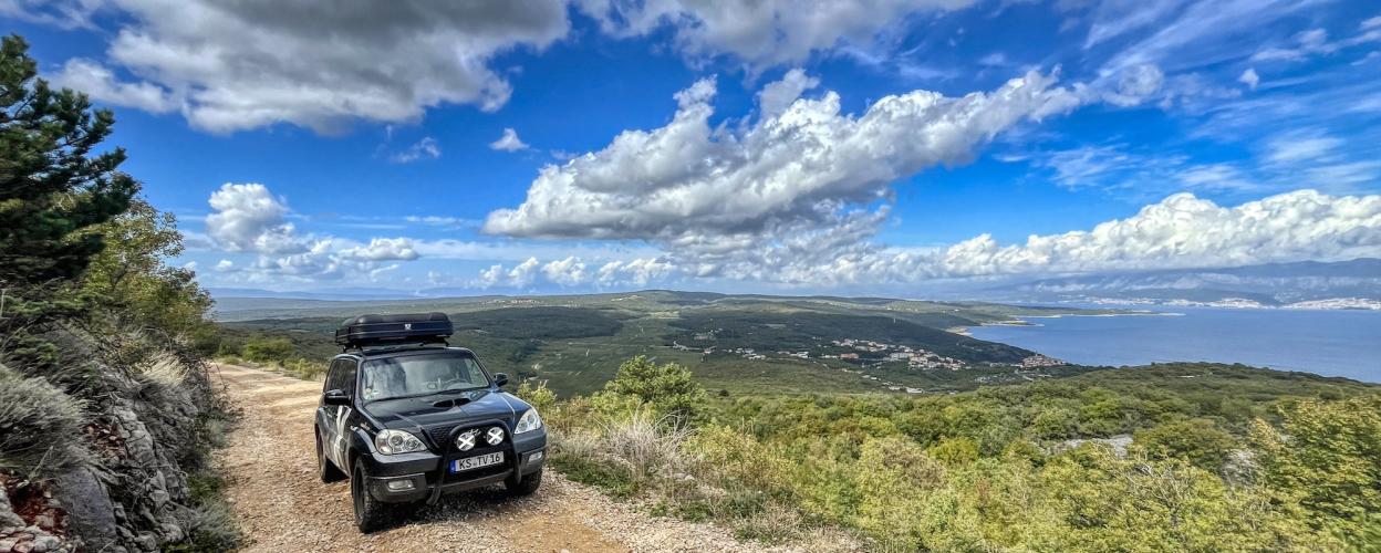
Piste nach Vrbnik
Island of Krk · Croatia

Track to Vrbnik

6 km·up to 286 m·Medium·
Length
6 km
Max. Height
286 m
Difficulty
Medium
Rating
★ 3.0
2 reports

The trail branches off road 5183 towards Vrbnik into the bushes on the right. At first it leads through the dense bushes in tight curves without much of a view. Later the route winds up a slope with a beautiful sea view. Once at the top, you reach a small turning area before the descent to Vrbnik begins. In the past, you could continue for over 10 kilometers here to reach a rocky plateau. Unfortunately, the route is now (as of autumn 2024) blocked by a massive barrier.

The descent to Vrbnik is sometimes quite steep and deeply graveled, and there are larger stones in places. Particular caution is required here.

Elevation
From the community

Latest reports

Conditions, closures and tips — from members who drove here recently.

For me as an enduro beginner, the first part up to the turning area was quite challenging. The last steep section in particular made me break out in a sweat. That's why I rode the same route back again. Greetings Jörn with gs 1250 adv. The barrier is in place and closed.


J
Joern
Motorrad · 30.07.2025

Simple gravel road in good condition with beautiful views. Unproblematic with an off-road vehicle. The barrier mentioned in the text was currently open. However, we did not try the path that was open as a result.

M
Michael
Ineos Grenadier (mit Dachzelt) · 12.06.2025
Keep going

Tracks Nearby