German
Brač Island · Croatia
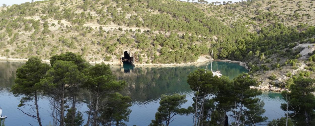
Submarine bunker on Brac
18 km·up to 555 m·Medium·
Length
18 km
Max. Height
555 m
Difficulty
Medium
Rating
★ 3.0
This track winds its way over 18 km from sea level to around 560 metres in altitude. At first it runs along the coastline with little difference in altitude and only climbs steeply in the second half.
The ground is always rocky or stony. Sometimes loose gravel.
Elevation
From the community
Latest reports
Conditions, closures and tips — from members who drove here recently.
Keep going

 Croatia