German
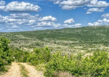
Somewhat overgrown but otherwise easy to ride exactly as described in the book
C
Christoph
Audi A6 ALLROAD · 08.07.2025



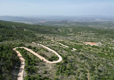
This route, which runs parallel to the tarred crossing of the Cikola between Skradin and Drnis, is a very worthwhile alternative. We recommend driving from south to north.
No matter which direction you come from, the route is initially flat on a simple gravel or dirt path with possible puddles before the descent to the river begins. In some tight bends and turns, the route goes steeply downhill on mostly deep and loose gravel with grains larger than the size of a fist. There are also washed-out longitudinal and transverse gullies.
Next to the bridge, the almost overgrown access to a ford can be seen. From the northern driveway, you have a beautiful view of the ruins of the Kliuc fortress (note: the position of the sun in the morning is bad for photos!)
On the northern driveway, there are no fall protection measures, even in exposed areas.
The indicated slit in the northern section indicates a possible alternative for the exit via Drinovci.
Conditions, closures and tips — from members who drove here recently.
Somewhat overgrown but otherwise easy to ride exactly as described in the book

 Croatia