 German
Nice track; no problem if you have enough ground clearance. When dry = medium difficulty; when wet, it's more challenging.
S
SittingBull
Toyota HDJ100 · 03.10.2026


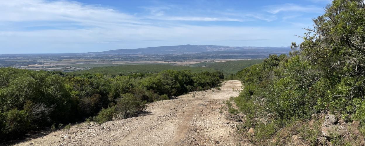
Monte Arci is an extinct volcano in western Sardinia, composed of volcanic rock and basalt. In its northern part, Monte Arci features striking volcanic rocks and cliffs that rise steeply from the surrounding landscape, formed by erosion and weathering. Numerous streams and waterways meander through this region, which is remarkably remote even by Sardinian standards.
For us off-roaders, however, the numerous forest tracks and firebreaks that crisscross the volcano's area like a spiderweb are far more interesting. Generally legal to drive on, they offer a fantastic playground for off-road enthusiasts. Their condition varies considerably – and that's precisely what makes a tour through the Monte Arci volcanic region so appealing.
Our route begins by turning off the SS 442 in Albagiara onto the SP 35 and heading north towards Villaurbana. Just under a kilometer past the village, surrounded by olive groves and vineyards, a track branches off to the left. We follow this track. It starts off easy, leading for about 3.5 kilometers along fresh tarmac, but then becomes increasingly challenging.
Coarse scree, large stones, and deep ruts now dominate the landscape. The surface alternates between fine, coarse, and sometimes deep gravel, as well as rocky sections crisscrossed by transverse grooves. High ground clearance is clearly necessary here. The route leads through forests and scrubland with steep ascents and equally steep descents, offering frequent scenic views.
First, the trail leads through mixed forest, later the view opens up. A first stop is worthwhile at the ruins of Nuraghe Modo. Like all structures of the Nuragic culture, built between 1800 and 500 BC, this site also exhibits the typical characteristic of that era: a massive tower surrounded by rough, rounded stone walls. In Modo, several chambers are connected by narrow passages.
Continuing along the wide forest track, which, despite its generally well-maintained nature, occasionally surprises with rough or narrow sections. Shortly before the hamlet of Pau, the asphalt begins, leading down to the SP 48 and back to the SS 442.
Conditions, closures and tips — from members who drove here recently.
Nice track; no problem if you have enough ground clearance. When dry = medium difficulty; when wet, it's more challenging.

 Italy



