 German
A beautiful route, but unfortunately it's closed past the tunnel due to construction. Construction work is underway here. The entire route is being renovated.
K
Kilian
Geländewagen · 12.09.2024



The 7 km long stitch leads between the Rho and Merdovine rivers in the Piedmont mountains. A challenging short route with a steep ascent near Bardonecchia on the SS 335.
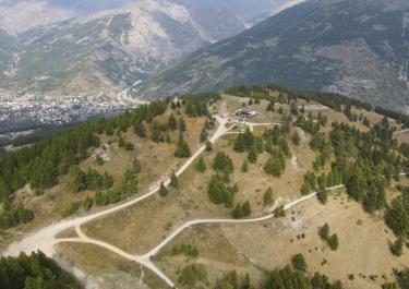
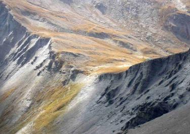
The start of the trail is at the end of Bardonecchia, after a small tarred road the gravel road begins. Through a few hairpin bends and bordered by trees, it initially leads towards Grange della Rho. The route continues steeply uphill over scree-like ground through the imposing rocky slopes. In the next section, the track is bordered by a small wall. You pass a few bridges with bubbling mountain water and cross a ford. After passing through a very old, slightly dilapidated tunnel, the track becomes narrower and rockier. The end point is the Refugio Piano dei Morti. It lies beneath a huge rock where marmots seek shelter. With a wonderful view of the magnificent mountain scenery, it is worth enjoying the peace and quiet. Or go on a hike. A 2 km trail leads to the Colle della Roh with its summit cross at an altitude of 2541 m on the border between Italy and France.
Conditions, closures and tips — from members who drove here recently.
A beautiful route, but unfortunately it's closed past the tunnel due to construction. Construction work is underway here. The entire route is being renovated.
Only partially passable; the alternate route ends at the river, where it is no longer possible to cross, and the off-road trail on the other side is also closed.
 Italy


 France


