German
Unfortunately, this road is impassable
L
LR 110
Gar nicht · 17.06.24


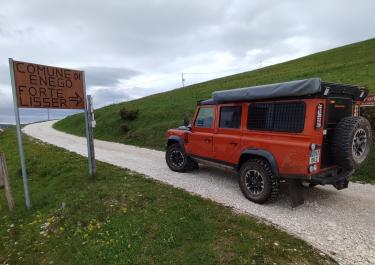
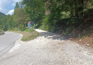
Community Report June 2024: Route is closed near Selva due to signage with addition. Official confirmation was not yet available at the time of going to press!
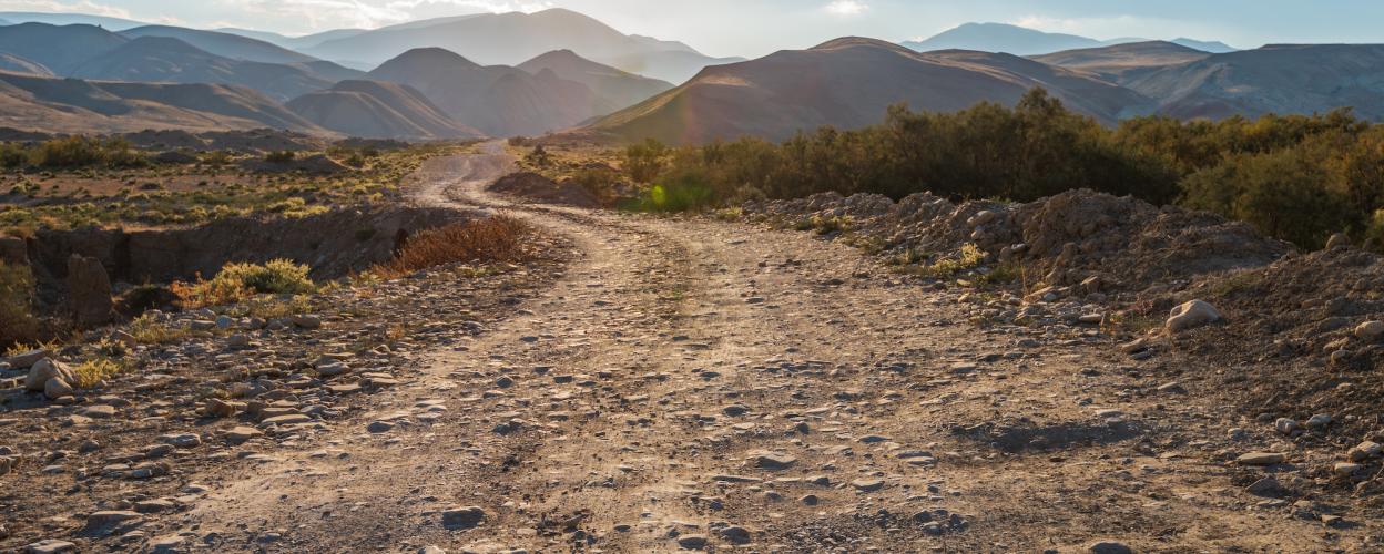
The approach to this off-road tour is identical to that of Monte Lisser. Therefore, the combination of both tours is a good idea. Coming from Monte Lisser, turn right and drive through a path in the woods to the Malga "7 Caliere" mountain hut. Here you can enjoy regional delicacies during a break. Continue along the paved road to the Rifugio Marcesina. Shortly after the rifugio, turn into the gravel farm road. The well-navigable track now leads mainly through the forest, in the further course you reach the stitch to Monte Forno. A hike leads from here to the chapel of Monte Forno. Back to the starting point, continue uphill to the next cul-de-sac, turn right to the Rifugio Adriana Malga Moline at an altitude of 1730 m. After a short hike you will find remains of bunkers from the 1st World War. In addition, you have a wonderful view of the surrounding mountains. Now follow the last stretch up to the parking and picnic area Piazzale Lozze.
Conditions, closures and tips — from members who drove here recently.
Unfortunately, this road is impassable
I asked the town of Grigno for information, and they told me that the route doesn't fall within their town limits. So that sign is for another road that isn't included in the route.
 Italy