 German
Easy trail, no closures or obstructions...except for a cow, but it walked away on its own
C
Corsin
4x4 · 12.08.2026


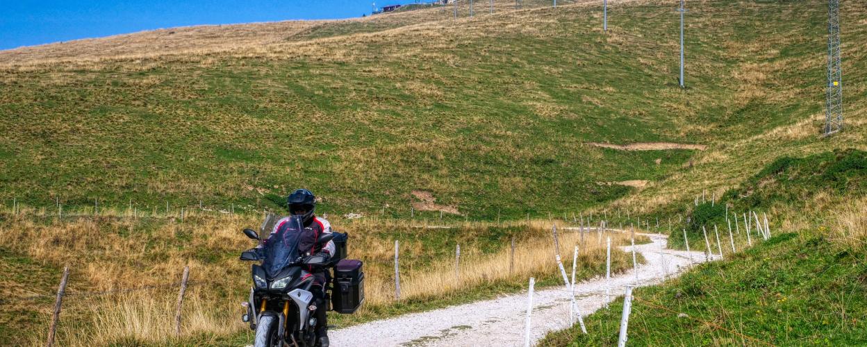
The 1799-metre-high Monte Tomba is located in the middle of the regional park Parco regionale della Lessinia and west of Lake Garda. It can be approached motorized from two directions. Probably the most popular route starts at the Passo Fit¬tanze della Sega. Here we head north onto the narrow and initially still asphalted SP14, which appears to be only partially paved on its way up. Overall, however, it is easy to drive on without any major headaches. It ends on a branching off and only a few hundred metres long spur, where two huts invite you to stop for a bite to eat. In addition, wonderful views are offered, but they are somewhat clouded by the summit above, which has been stuffed with antennas.
The continuation of the journey then descends on the SP 14 to the junction with the SP 6, in the immediate vicinity of the Passo del Branchetto.
Conditions, closures and tips — from members who drove here recently.
Easy trail, no closures or obstructions...except for a cow, but it walked away on its own
Open, no obstructions except for Monte Tomba. Head down toward Passo del Branchetto.
Hi, I rode the trail yesterday—it’s a perfect beginner’s trail. There’s a snowfield at Monte Tomba 1; right now, only motorcycles can get through.
Winter closure from Passo Fittanza from November 15 to April 15,
Continue on to the Branchetto Pass (1,591 m). > 16.8 km. SG 3-4
https://alpenrouten.de/Tomba-Monte_point715.html 07/2023, Golden October Located in the Lessini Mountains, Monte Tomba is a scenic destination that—despite the route being only partially paved—is not just for enduro riders. The approach leads from Passo Fittanze della Sega to the west via the narrow and only partially paved SP.14 (SG 3) and runs largely through a hilly, open landscape. The final stretch, a short (only a few hundred meters long) spur road (SG 3-4) branching off from the SP.14, ends at the (staffed) Rifugio Monte Tomba, just a few meters below the antenna-topped summit. Alternative approaches from the south are also possible, e.g., from Bosco Chiesnuova or Velo Veronese.
 Italy




