German
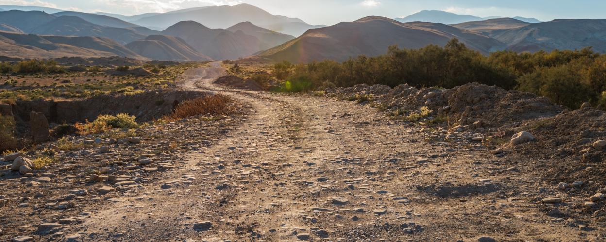
Forest track to Seui
There is a connection in the form of a natural path between the towns of Esterzili in the east and Seui in the west. A steep climb from 500 to 900 meters is followed by a stage on a kind of plateau before the route slowly descends again and reaches its end point at around 750 meters. In between, the off-road orchestra plays its complete repertoire: steep ascents and descents, narrow passages, rock slabs, coarse gravel, boulders, sharp bends, ruts. If you want to have fun there, you need a lot of off-road experience and the right vehicle, for example a maneuverable four-wheel drive or a light enduro.
The route: About four kilometers south of Sadali, turn off the SS 198 towards Esterzili. Another four kilometers of the very best serpentine route follow. Then, in a right-hand bend, turn left onto a gravel path. This meanders relatively harmlessly along the side of a mountain ridge. It dives into a dry riverbed and winds its way back up the slope on the opposite side. Up to this point it's been easy going. Then a long, steep climb begins that's tricky. Rough gravel, stones, rock slabs, serpentines with deep ruts. Always keep going. If you let off the gas, you lose.
On the following plateau, the chassis of bike and car calms down a bit. But you still have to choose your lane carefully. The final part is a handful of generous curves down to the SS 198. Turn left and continue on to Seui.
Latest reports
Conditions, closures and tips — from members who drove here recently.
 Italy