Strada del Colomion
Piedmont · Italy

Strada del Colomion

17 km·up to 2.030 m·Medium·
Length
17 km
Max. Height
2.030 m
Difficulty
Medium
Rating
★ 2.0
2 reports

Restriction: From Bardonecchia-SS335, via Fort Bramafan, the road is closed all day every Wednesday! 


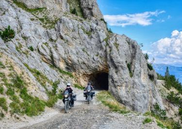
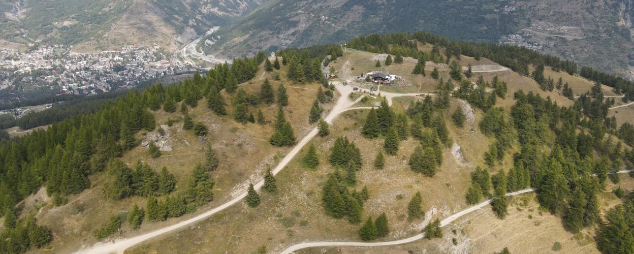
The Strada del Colomion is made up of sections of former military roads and forest paths. The summit plateau of the Colomion offers an impressive panoramic view. 
From the SS 335, approx. 1.5 km south of Bardonecchia, follow the signs to Forte Bramafan. The route climbs through the forest, with gradients of up to 15%. Before the fortifications, turn right onto the Strada del Colomion. Follow this road up to the plateau (2035m) of Punta Colomion. A stop at the Punta Colomion bar is definitely worthwhile. The ski hut, which is also always open in summer, serves absolutely delicious food. 
Shortly after the plateau, turn right towards Puy and Beaulard. On the way downhill, you pass a few hairpin bends and switchbacks before you reach asphalt again after the hamlet of Puy. 


The alternative access from Bardonecchia- Campo Smith is only possible until 9 am in July and August and then again from 6 pm.

Elevation
From the community

Latest reports

Conditions, closures and tips — from members who drove here recently.

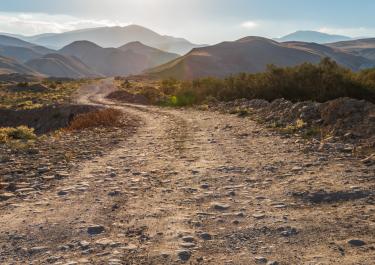
We first cycled from Beaulard to Bardoneccia and then back the same way in the evening. From Beaulard, the route is first briefly on asphalt and then becomes a very rough gravel road. Rather challenging to ride. From the Punta Colomion bar, the route descends again and the surface becomes a flat clay road, which was rather dusty but pleasant to ride on. On the way back, you can really let it fly uphill here, which was great fun. We ignored the road closure from Bardoneccia between 9 a.m. and 6 p.m., which is also not controlled.

F
Felhab
Reiseenduro · 11.07.2025
Almost all off-road trails are closed, likely due to the closure of the Stella Alpina.

M
Mücke
Motorrad · 14.07.2024
Keep going

Tracks Nearby