Not far from the French border, this 40 km long route with 2 stretches always runs close to small rivers through the mountains of Piedmont.
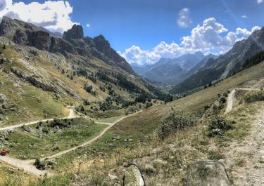
From the SS 20 near Cuneo, head towards Acceglio on the SP 263, then on to Lausetto, where the gravel road begins. The first stitch starts at a small bridge. The track has some slightly stony sections and first leads through a small wooded area, then upwards along a mountain ridge past a few ruins. The stitch ends at a beautiful old stone house with a spring. Here you can enjoy the view and the silence. Back at the bridge, you take the second branch in the direction of Monte Bellino. With the river always in view, you ride over a slightly damaged section of tar. The route then continues on gravel through hairpin bends up to the small, well-preserved mountain church of Madonna delle Grazie with a view of the enchanting valley. Here you will find another water source. The track is bordered by stone walls as it continues and becomes narrower and partly gravely. The route ends at the Rifugio Carmagnola with a panoramic view of the imposing peaks.


 German
 Italy




 France