

 German
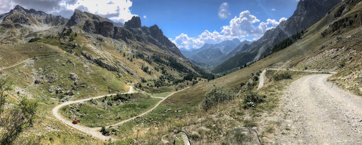
Col de Maurin
Exactly on the border between the Italian Piedmont and the French department of Alpes-de-Haute-Provence, the crest of the Col de Maurin is enthroned in the middle of the scenically impressive Val de Maurin. Unfortunately, you can't get all the way up to the stately border pass (anymore) by motor. Since 2017, a prohibition sign has prevented driving on the last – unpaved and in the upper section also quite coarse gravel – kilometres. By car or motorbike, all you have to do is get to the alpine hut, which is located a little north of the Rifugio Campo Base. This can be reached, for example, on the quite easy to drive SP 422, which begins at the 1523-metre-high Colle dell'Encuccetta and stretches there to the northwest. Incidentally, the Col de Maurin is not accessible from the French side. A cross-border road connection has been discussed from time to time, but has not yet been fully planned, let alone realized.
Latest reports
Conditions, closures and tips — from members who drove here recently.
Tracks Nearby
 Italy



 FranceFrance