German
Closure or obstruction
Track is officially closed on both sides with large signs!
J
Johannes
Defender · 02.08.25


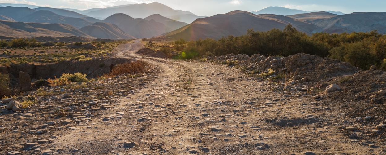
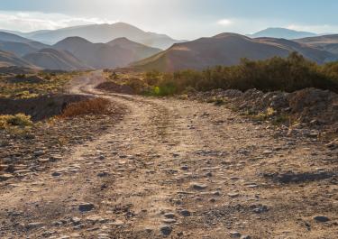
This scenic route, approximately 16 km long, runs through the alpine Ligurian border region, closely following the border with France. In its upper section, it offers not only challenging stretches but also breathtaking views of the Ligurian mountains.
The route runs between Pigna and Dolceaqua, parallel to the SP64. About 2 km after Pigna, turn right towards Gouta onto SP69, and after approximately 14 km, the trail begins just beyond the Rifugio Gola di Guta.
The Rifugio Cola di Guta offers overnight accommodations and rustic meals, as well as a lovely sun terrace with panoramic views. It's the perfect spot to recharge before tackling the demanding trail and to visit the grazing donkeys near the hut.
Initially, the trail in this section is relatively easy,winding uphill through Mediterranean larch and fir forests. As the trail progresses, it becomes rockier and, marked on OpenStreetMap as SP69, leads up to a steady plateau. The effort is frequently rewarded with stunning vistas. After a short tunnel, the route becomes more challenging and descends very close to the French border. A series of tight hairpin turns brings you down to the Colle di Savigioni and a "lost place"—a half-ruined military barracks right by the trail..
Conditions, closures and tips — from members who drove here recently.
Track is officially closed on both sides with large signs!
We drove the route from the south. Just about managed with the Bulli (+30mm with continuous underbody protection). Some rough stones and narrow passages. Prohibition sign, but barrier was open on both sides
Hello Roland What did the sign say? Unfortunately you can't read it. Often the sign in Italy only means that you drive the route at your own risk. Best regards Holger
The road is closed in both directions
 France