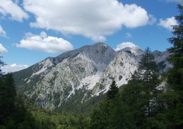
In theory, you can get to Monte Matajur by car, but in practice this is extremely challenging. This is only recommended for extremely adventurous people with plenty of off-road experience and the right machine. T
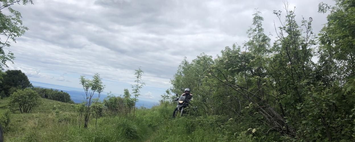
he summit of the 1641 meter high mountain is on the border between Italy and Slovenia. If you really want to try your luck, you should start from Livek in Slovenia. Before the First World War, the Italian army built a military road from there. Up to the village of Avsa, this is at least in a decent condition, but after that the road ends. 4x4 drivers may still be able to fight their way up to the Irdska mountain pasture, where the old military road substructure is clearly visible. After a short time you reach the tree line and the summit region of Mrzli vrh (1358 m). At the next fork in the road, turn left, while the right path leads to the Idrska mountain pasture (Idrska Planina), where delicious cheese is on offer, among other things. During the next 3 kilometers to the summit, the path gradually becomes narrower and coarser the closer you get to the summit. The last part, however, consists only of narrow paths with coarse scree. Another challenge is the herds of cows roaming freely everywhere.


 German

 Slovenia