Attention! Closed to motorized traffic! In August 2023, a closure sign was reported at a left turn in the forest!
Meyronnes in the French Maritime Alps in south-eastern France is the starting point for this difficult tour to the ruins of the Viraysse barracks at 2505 m. altitude.
From Meyronnes, leave the D 900 after approx. 1200 meters and turn left onto the D225 in the direction of St. Ours. The well-maintained asphalt road winds uphill for about 2 km. Once you have reached the village, keep right and the narrow, roughly gravelled track begins at the end of the village. This old military road is difficult as there are numerous tight hairpin bends. Another difficulty could be crossing fords, but in summer these are often just rivulets.
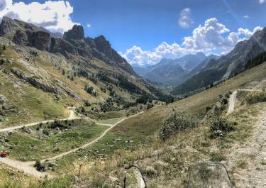
Continue towards Col de Mallemort through the rugged high mountain landscape. In the last third, you ride on loose gravel through 13 hairpin bends, some of them narrow, with gradients of over 16%, until you reach the high plateau with the barracks ruins.
The barracks on the Tete de Viraysse were used to protect the Ubayette Valley from Italian attacks during the First World War. The fortress at 2772 m. Altitude, also known as the Tête de Viraysse battery, can only be reached on foot. From here, you have a magnificent panoramic view.


 German


 France


 Italy
