German
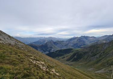
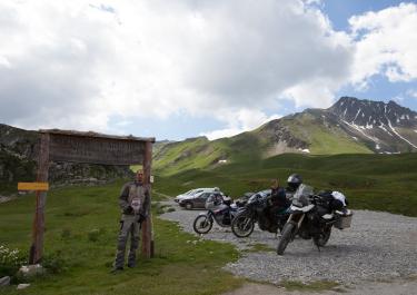
A beautiful, varied trail with fantastic panoramic views. Not very crowded. No closures. The only downside was that the cabin was closed.
B
Biker-Kumpelz Zollernalb e.V.
KTM EXC 400 · 20.09.2026


Inaugurated on August 24, 1890, the Refuge du Mont Jovet has since welcomed hikers, mountain bikers, and off-road enthusiasts. It was the mayor of Bozel who conceived the idea of building the mountain hut to boost tourism. The plan worked: at the beginning of the 20th century, vacationers would ride mules from the spa town of Brides-les-Bains up to Mont Jovet to admire the sunrise at an altitude of 2,588 meters. Indeed, the breathtaking panorama at the summit makes an off-road trip to the refuge an absolute delight.
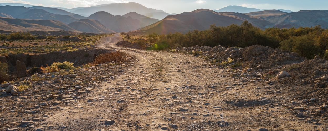
The journey begins in Montagny, a village located in the valley of the Doron de Bozel stream, a tributary of the Tarentaise Valley along the Isère River. After a short stretch of asphalt, the gravel road starts near Mornache. The route is straightforward and mostly runs straight, with occasional switchbacks providing some variety. The gravel surface is manageable and easy to navigate. At the clearly marked turnoff to Mont Jovet, take the left fork, and soon you'll arrive at the refuge, a structure built entirely from wood.
Whether you’re stopping to eat, drink, or stay overnight, a visit to the Refuge du Mont Jovet at 2,348 meters is a must, thanks to its magnificent panoramic views. For the return journey, simply retrace your steps back to Montagny.
Conditions, closures and tips — from members who drove here recently.
A beautiful, varied trail with fantastic panoramic views. Not very crowded. No closures. The only downside was that the cabin was closed.
Today we drove the route in our truck, from Montagny to the Mont Jovet refuge. Unfortunately, the refuge is closed starting in mid-September (September 12). We drove through the little village of Le Villarde. Even though there was a construction site in the village center and the mail carrier told us we definitely wouldn’t be able to get through, we took a chance anyway—and it worked out great. At the little chapel of Notre Dame des Neigers, we got back onto the better road, but it was no problem at all. The trail is very easy to drive on with a truck: L:W:H = 750 cm x 242 cm x 370 cm. There’s a magnificent view from the top at the refuge. We stayed one night, completely alone, then took the descent to Bozel. So it’s not a dead end. The descent is a bit easier than the ascent. It was a great trip—we’d love to do it again. Best regards, Bea and Bruno
A very nice route, easy to climb. Stunning views. From the belay station near the refuge, you get a 360-degree view of nearby Mont Jovet—absolutely fantastic! 😀
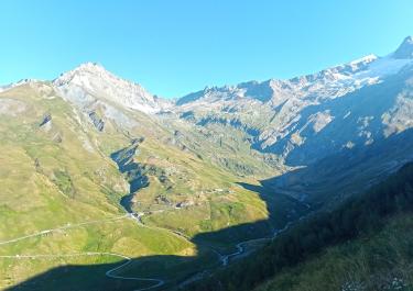
We didn't ride this exact route: On the way up, we (unfortunately) went via Feissons-sur-Salins. After the village, the route is very scenic. But further up in the forest, there's a section that's quite rough and narrow. Later on, the forest trail improves, but it's really only about 6 feet wide. Further on, it becomes a (mostly) good gravel path. From the refuge, we descended southeast via Mirabozon and Tincave. This is also the main access route to the Mont Jovet refuge. The region is ideal for biking and hiking, with stunning views of the mountains (including the Vanoise National Park). There are also several nice places to stay overnight.
 France