German
Route open to the top, in good condition.
S
Sam
Regular 4x4 (Range Rover) · 1600h 14 September 2026



The historic Alpine fortress Redoute Ruinée, also known as La Redoute, is located on the Crête du Roc Noir ridge, southeast of the southern ramp of the Col du Petit-Saint-Bernard on the French side. Access to the fort is possible from La Rosière. The access road branches off from the N90 about 300 meters east of the gas station at the edge of town and first leads to Les Eucherts. From there, it passes through the local golf course before the actual trail to the fort begins, stretching approximately 7.5 kilometers. This route is partially rough gravel and steep, with inclines of up to 30%.
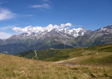
The path winds up to the Roc Noir with numerous switchbacks, reaching the level of the ridge. Along the way, several ski slopes are crossed, so care is needed to avoid taking a wrong turn. The final 2.5 kilometers to the fort run as a ridge road, offering stunning views into the valleys below.
Unfortunately, the fortress itself is not open for visitors.
The approximately 1.5-kilometer-long, steep northern descent leading to the summit of the Col du Petit-Saint-Bernard is technically drivable but is currently officially closed.
Conditions, closures and tips — from members who drove here recently.
Route open to the top, in good condition.
Stuck at the golf course. A local golfer suspected that roadwork was underway.
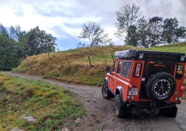
Drove this today. The last 1.5 km is pretty brutal, with barren landscapes, a very narrow rocky track, and incredible drop-offs. You’ll need to keep your cool and hug the hillside. The fort is officially closed, but if you take a chance, you can cross the wooden bridge and see if it holds up! We drove down the same way, so the same nerves were required. A 4WD with low range is required. The track is rocky and covered in loose gravel. Amazing views.
 France