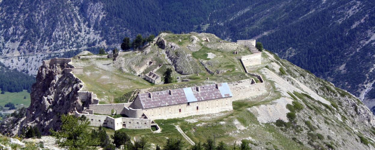
North of Briançon in the French Alps are the impressive fortresses Fort de l'Olive and Fort de Lenlon. Although they are located in a restricted military area, access can occasionally be granted with the prior agreement and consent of the local military.
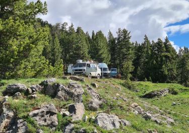
From the eastern ramp of the Col de Granon, which leads into the Val des Prés, a continuous gravel road branches off to the north. After a short stretch, the path splits. Heading east, it leads directly to the Fort de l'Olive, which is located on the mountain flank. To the north, the path climbs up to Fort de Lenlon. The route is challenging, with steep hairpin bends, some 15% gradients and deep furrows.
The architecture of the two forts is remarkably different. The Fort de Lenlon, which is located on a summit, stands out due to its unusual freestanding and round design. It is often called the "cake bunker" because of its shape. The Fort de l'Olive, on the other hand, impresses with its size and location on the side of the mountain.
There is an alternative access route from Plampinet in the north or north-east. However, this is not recommended as it is difficult to pass in some places or is also officially closed.


 German

 France